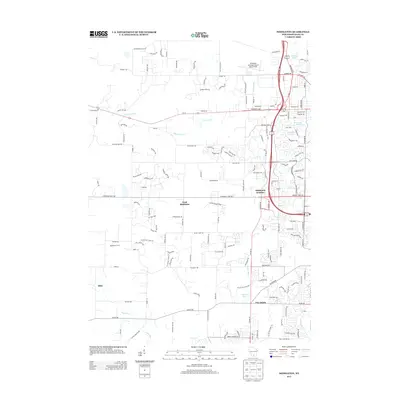
2013 Map of Middleton
USGS Topo · Published 2013About this map
West Middleton and the outlying communities of Middleton Junction and Five Points occupy this landscape west of Madison during the early 21st century. The geography is defined by a series of small glacial water bodies including Graber Pond, Tiedemans Pond, and Strickers Pond, while the Sugar River and Black Earth Cr drain the surrounding terrain. This era shows the continued significance of the Ice Age Natl Scenic Trl, which winds through the southern and western portions of the quadrangle, linking the local topography to the broader regional glacial history.
Find a feature on this map
154 named features on this map. Tap any name to fly to it.
Don’t see what you’re looking for? This feature index may not catch every label — zoom into the map to look around manually.
Map Details
Editions of this 2013 Middleton Map
This is the sole edition of this map. No revisions or reprints were ever made.
Other maps of this area

1889 · Evansville
USGS Topo · 1:62,500

1890 · Madison
USGS Topo · 1:62,500

1892 · Madison
USGS Topo · 1:62,500

1894 · Evansville
USGS Topo · 1:62,500

1904 · Madison
USGS Topo · 1:62,500

1906 · Evansville
USGS Topo · 1:62,500

1906 · Madison
USGS Topo · 1:62,500

1907 · Cross Plains
USGS Topo · 1:62,500

1909 · Cross Plains
USGS Topo · 1:62,500

1923 · New Glarus
USGS Topo · 1:62,500