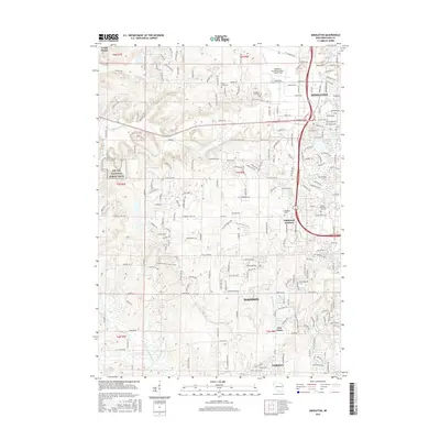
2016 Map of Middleton
USGS Topo · Published 2016About this map
Middleton and the western edge of Madison define this part of Dane County, where suburban expansion meets the glacial topography of south-central Wisconsin. The landscape is marked by numerous terminal moraine features and small water bodies such as Graber Pond, Strickers Pond, and Tiedemans Pond. Transport infrastructure and public facilities are prominent, including the Middleton Municipal Airport - Morey Field and Middleton High School.
Find a feature on this map
208 named features on this map. Tap any name to fly to it.
Don’t see what you’re looking for? This feature index may not catch every label — zoom into the map to look around manually.
Map Details
Editions of this 2016 Middleton Map
This is the sole edition of this map. No revisions or reprints were ever made.
Other maps of this area

1889 · Evansville
USGS Topo · 1:62,500

1890 · Madison
USGS Topo · 1:62,500

1892 · Madison
USGS Topo · 1:62,500

1894 · Evansville
USGS Topo · 1:62,500

1904 · Madison
USGS Topo · 1:62,500

1906 · Evansville
USGS Topo · 1:62,500

1906 · Madison
USGS Topo · 1:62,500

1907 · Cross Plains
USGS Topo · 1:62,500

1909 · Cross Plains
USGS Topo · 1:62,500

1923 · New Glarus
USGS Topo · 1:62,500