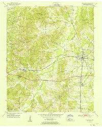
1951 Map of Middleton
USGS Topo · Published 1951About this map
Middleton serves as the rail hub for this corner of Hardeman County, positioned at the critical junction of the Southern and Gulf Mobile and Ohio railroads. The 1950s landscape is defined by the winding paths of Cypress Creek and Porters Creek, which drain a terrain of low ridges including Porters Mountain. Settlement patterns follow the rail lines and old country roads, connecting smaller communities like Lisbon and Rogers Springs.
Find a feature on this map
38 named features on this map. Tap any name to fly to it.
Don’t see what you’re looking for? This feature index may not catch every label — zoom into the map to look around manually.
Map Details
Editions of this 1951 Middleton Map
This is the sole edition of this map. No revisions or reprints were ever made.
Other maps of this area
1950 · Ashland
USGS Topo · 1:62,500
1950 · Pocahontas
USGS Topo · 1:24,000
1950 · Hebron
USGS Topo · 1:24,000
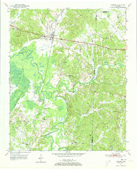
1950 · Hornsby
USGS Topo · 1:24,000
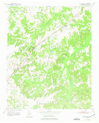
1950 · Middleburg
USGS Topo · 1:24,000
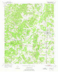
1950 · Middleton
USGS Topo · 1:24,000
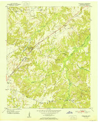
1951 · Middleburg
USGS Topo · 1:24,000
1951 · Hebron
USGS Topo · 1:24,000
1951 · Hornsby
USGS Topo · 1:24,000
1951 · Walnut
USGS Topo · 1:62,500