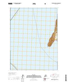
2017 Map of Middleton Island D-2 SW
USGS Topo · Published 2017About this map
Chugach National Forest land defines the sliver of land appearing on the eastern edge of this coastal survey, where the rugged topography of Middleton Island meets the open Gulf of Alaska. This remote maritime environment is managed in part as the Alaska Maritime National Wildlife Refuge, highlighting the region's importance as a critical habitat for seabirds and marine mammals. The map details the transition from the steep, terraced elevations of the island's interior down to the shoreline.
Find a feature on this map
8 named features on this map. Tap any name to fly to it.
Don’t see what you’re looking for? This feature index may not catch every label — zoom into the map to look around manually.
Map Details
Editions of this 2017 Middleton Island D-2 SW Map
This is the sole edition of this map. No revisions or reprints were ever made.
Other maps of this area

1948 · Middleton Island
USGS Topo · 1:250,000

1950 · Middleton Island
USGS Topo · 1:250,000
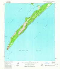
1955 · Middleton Island D-1 and D-2
USGS Topo · 1:63,360
1955 · Middleton Island
USGS Topo · 1:250,000
1965 · Middleton Island
USGS Topo · 1:250,000
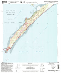
1995 · Middleton Island D-1 and D-2
USGS Topo · 1:63,360
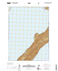
2017 · Middleton Island D-2 NE
USGS Topo · 1:25,000
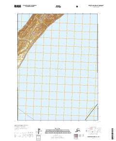
2017 · Middleton Island D-2 SE
USGS Topo · 1:25,000
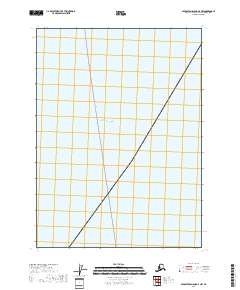
2018 · Middleton Island D-2 NW
USGS Topo · 1:25,000