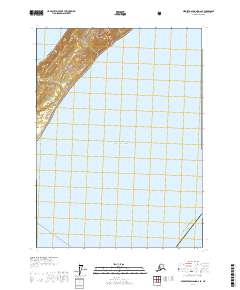
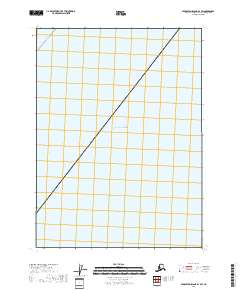
2017 Map of Middleton Island D-2 SE
USGS Topo · Published 2017About this map
The coastal interface of the Chugach National Forest meets the northern reaches of the Gulf of Alaska in this 2017 survey of the Valdez-Cordova Census Area. This maritime landscape is defined by the steep, forested slopes that drop toward the shoreline, where the Alaska Maritime National Wildlife Refuge provides critical coastal habitat. The map traces the offshore route of the Alaska Marine Hwy, illustrating the essential marine transport corridors that connect these remote coastal regions. Without roads on land, the reliance on these sea-based transit routes highlights the isolation and the unique geography of the Gulf coast, where conservation lands and the open sea are the primary features of the map.
Find a feature on this map
8 named features on this map. Tap any name to fly to it.
Don’t see what you’re looking for? This feature index may not catch every label — zoom into the map to look around manually.
Map Details
Editions of this 2017 Middleton Island D-2 SE Map
This is the sole edition of this map. No revisions or reprints were ever made.
Other maps of this area

1948 · Middleton Island
USGS Topo · 1:250,000

1950 · Middleton Island
USGS Topo · 1:250,000
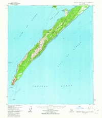
1955 · Middleton Island D-1 and D-2
USGS Topo · 1:63,360
1955 · Middleton Island
USGS Topo · 1:250,000
1965 · Middleton Island
USGS Topo · 1:250,000
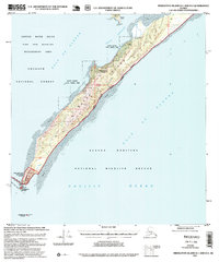
1995 · Middleton Island D-1 and D-2
USGS Topo · 1:63,360
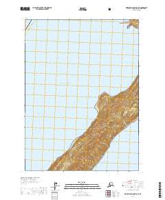
2017 · Middleton Island D-2 NE
USGS Topo · 1:25,000
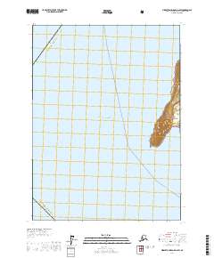
2017 · Middleton Island D-2 SW
USGS Topo · 1:25,000
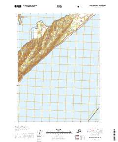
2017 · Middleton Island D-1 NW
USGS Topo · 1:25,000
2018 · Middleton Island D-1 SW
USGS Topo · 1:25,000