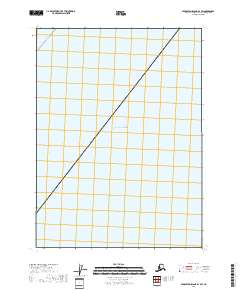
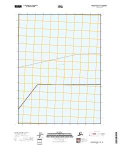
2018 Map of Middleton Island D-1 SW
USGS Topo · Published 2018About this map
The Gulf of Alaska dominates this 2018 nautical and land survey, which documents a section of the maritime approaches south of the Alaskan mainland. The map is defined primarily by its open water, serving as a record of the vast coastal shelf within the Gulf of Alaska during the early 21st century. One of the few human navigational markings present is a designated Ferry Route that cuts across the northwestern corner of the quadrangle, illustrating the vital maritime transit corridors that connect remote Alaskan outposts. The inclusion of the t23s r6e township and range boundary indicates the formal extension of the Public Land Survey System even into these primarily aquatic zones.
Find a feature on this map
3 named features on this map. Tap any name to fly to it.
Don’t see what you’re looking for? This feature index may not catch every label — zoom into the map to look around manually.
Map Details
Editions of this 2018 Middleton Island D-1 SW Map
This is the sole edition of this map. No revisions or reprints were ever made.
Other maps of this area

1948 · Middleton Island
USGS Topo · 1:250,000

1950 · Middleton Island
USGS Topo · 1:250,000
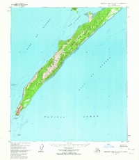
1955 · Middleton Island D-1 and D-2
USGS Topo · 1:63,360
1955 · Middleton Island
USGS Topo · 1:250,000
1965 · Middleton Island
USGS Topo · 1:250,000
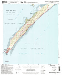
1995 · Middleton Island D-1 and D-2
USGS Topo · 1:63,360
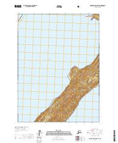
2017 · Middleton Island D-2 NE
USGS Topo · 1:25,000
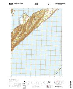
2017 · Middleton Island D-1 NW
USGS Topo · 1:25,000
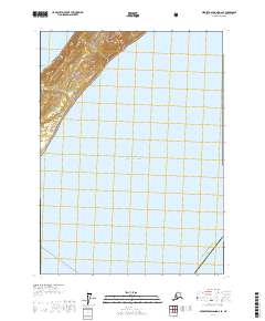
2017 · Middleton Island D-2 SE
USGS Topo · 1:25,000
2018 · Middleton Island D-1 NE
USGS Topo · 1:25,000