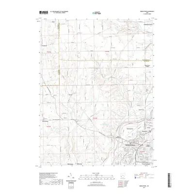
2019 Map of Middletown
USGS Topo · Published 2019About this map
The Great Miami River corridor anchors the urban expansion of Middletown, which by 2019 had grown to include neighborhoods like Avalon, Harlan Park, and Upper Arlington. This survey illustrates the modern transition from the dense street grids of the river valley to the rural agricultural lands of Butler, Montgomery, and Preble counties. Notable for local history, the map identifies several smaller settlements and crossroads such as Astoria, Jacksonburg, and Poast Town, alongside established cemeteries like Middletown Cem and Mount Pleasant Cem.
Find a feature on this map
154 named features on this map. Tap any name to fly to it.
Don’t see what you’re looking for? This feature index may not catch every label — zoom into the map to look around manually.
Map Details
Editions of this 2019 Middletown Map
This is the sole edition of this map. No revisions or reprints were ever made.
Other maps of this area

1904 · Mason
USGS Topo · 1:62,500

1906 · Mason
USGS Topo · 1:62,500

1908 · Miamisburg
USGS Topo · 1:62,500

1911 · Oxford
USGS Topo · 1:62,500

1915 · Hamilton
USGS Topo · 1:62,500

1917 · Hamilton
USGS Topo · 1:62,500

1951 · Franklin
USGS Topo · 1:24,000

1953 · Cincinnati
USGS Topo · 1:250,000

1955 · Monroe
USGS Topo · 1:24,000

1955 · Miamisburg
USGS Topo · 1:24,000