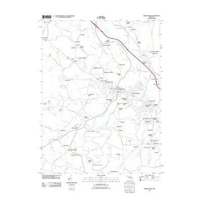
2011 Map of Middletown
USGS Topo · Published 2011About this map
Middletown serves as the focal point for this Frederick County landscape, where the valley floor is divided by the meandering path of Catoctin Creek and its many tributaries like Little Catoctin Creek and Hollow Road Creek. The settlement pattern in the early 21st century shows significant residential growth surrounding the historic core, evidenced by numerous named developments such as Lockwood Heights, Catoctin Hills, and Foxfield Middletown.
Find a feature on this map
160 named features on this map. Tap any name to fly to it.
Don’t see what you’re looking for? This feature index may not catch every label — zoom into the map to look around manually.
Map Details
Editions of this 2011 Middletown Map
This is the sole edition of this map. No revisions or reprints were ever made.
Other maps of this area

1884 · Harpers Ferry
USGS Topo · 1:125,000

1891 · Harpers Ferry
USGS Topo · 1:125,000

1893 · Frederick
USGS Topo · 1:125,000

1893 · Harpers Ferry
USGS Topo · 1:125,000

1894 · Frederick
USGS Topo · 1:125,000

1908 · Middletown
USGS Topo · 1:48,000

1908 · Ijamsville
USGS Topo · 1:62,500

1909 · Ijamsville
USGS Topo · 1:62,500

1909 · Hagerstown
USGS Topo · 1:48,000

1910 · Antietam
USGS Topo · 1:62,500