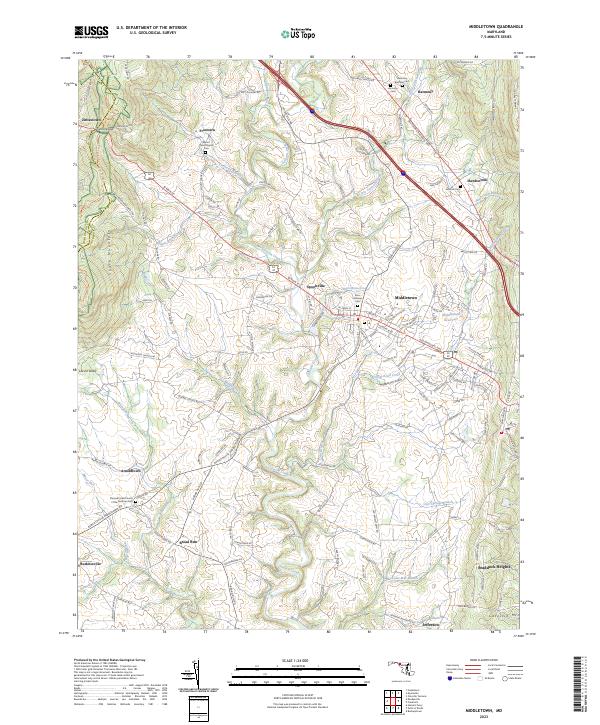
2023 Map of Middletown
USGS Topo · Published 2023About this map
Middletown and the surrounding Middletown Valley are documented here in detail, showcasing a landscape defined by the parallel ridges of South Mountain and Catoctin Mtn. The valley is bisected by the Baltimore National Pike and Alt 40, which facilitate movement between rural settlements like Zittlestown, Frostown, and Arnoldtown. Waterways such as Catoctin Creek and Middle Creek wind through the valley floor, supporting small agricultural communities and local landmarks like the Middletown Reservoir.
Find a feature on this map
148 named features on this map. Tap any name to fly to it.
Don’t see what you’re looking for? This feature index may not catch every label — zoom into the map to look around manually.
Map Details
Editions of this 2023 Middletown Map
This is the sole edition of this map. No revisions or reprints were ever made.
Other maps of this area

1884 · Harpers Ferry
USGS Topo · 1:125,000

1891 · Harpers Ferry
USGS Topo · 1:125,000

1893 · Frederick
USGS Topo · 1:125,000

1893 · Harpers Ferry
USGS Topo · 1:125,000

1894 · Frederick
USGS Topo · 1:125,000

1908 · Middletown
USGS Topo · 1:48,000

1908 · Ijamsville
USGS Topo · 1:62,500

1909 · Ijamsville
USGS Topo · 1:62,500

1909 · Hagerstown
USGS Topo · 1:48,000

1910 · Antietam
USGS Topo · 1:62,500