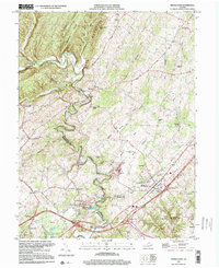
2022 Map of Middletown
USGS Topo · Published 2022About this map
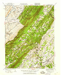
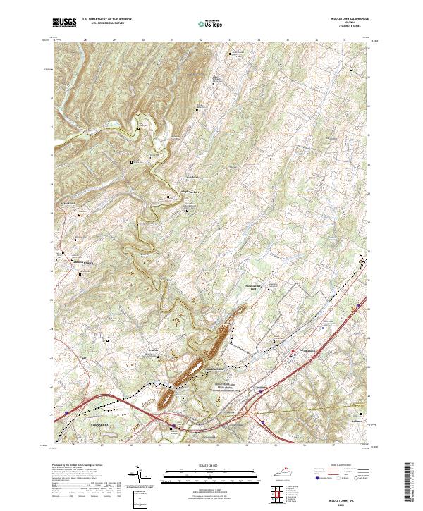
Cedar Creek and Belle Grove National Historical Park anchors this portion of the Shenandoah Valley, preserving a landscape defined by its defensive history and water-powered industry. The map illustrates a complex network of runs and brooks, including Buffalo Marsh Run and Stickley Run, which historically supported mills and agriculture across the rolling terrain. The presence of Stephens Fort and Nieswanders Fort reflects the early settlement patterns and strategic importance of this corridor.
Find a feature on this map
157 named features on this map. Tap any name to fly to it.
Don’t see what you’re looking for? This feature index may not catch every label — zoom into the map to look around manually.
Map Details
Editions of this 2022 Middletown Map
This is the sole edition of this map. No revisions or reprints were ever made.
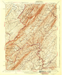
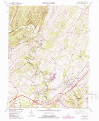
Historical Maps of Meadow Mills Through Time
8 maps found