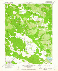
1958 Map of Middletown
USGS Topo · Published 1967About this map
Middletown serves as the primary hub in this late 1950s survey of southern Lake County, situated at the intersection of the Collayomi Valley and the southern reach of the Coyote Valley. The landscape is defined by a sequence of upland basins, including Excelsior Valley and Little High Valley, drained by an intricate network of waterways like Putah Creek and Coyote Creek.
Find a feature on this map
32 named features on this map. Tap any name to fly to it.
Don’t see what you’re looking for? This feature index may not catch every label — zoom into the map to look around manually.
Map Details
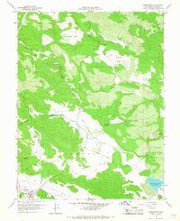
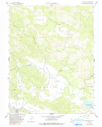
Editions of this 1958 Middletown Map
3 editions found
Other maps of this area

1927 · Calistoga
USGS Topo · 1:62,500

1942 · St. Helena
USGS Topo · 1:62,500

1943 · Morgan Valley
USGS Topo · 1:62,500

1943 · Calistoga
USGS Topo · 1:62,500

1944 · Morgan Valley
USGS Topo · 1:62,500

1945 · Calistoga
USGS Topo · 1:62,500

1945 · St. Helena
USGS Topo · 1:62,500

1945 · Lower Lake
USGS Topo · 1:62,500

1947 · Santa Rosa
USGS Topo · 1:250,000

1949 · Santa Rosa
USGS Topo · 1:250,000