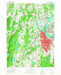
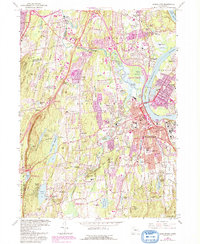
1965 Map of Middletown
USGS Topo · Published 1968About this map
Middletown serves as a dense urban and educational hub on the west bank of the Connecticut River in the mid-1960s. The campus of Wesleyan University dominates the central district, surrounded by civic landmarks including the Municipal Bldg, Armory, and Indian Hill Cemetery. Across the river, the Arrigoni Bridge connects the city to Portland and Gildersleeve. This period shows a landscape in transition, where industrial and institutional sites like the Vinal Regional Technical Sch and several hospitals sit near established neighborhoods such as South Farms and Newfield Heights.
Find a feature on this map
93 named features on this map. Tap any name to fly to it.
Don’t see what you’re looking for? This feature index may not catch every label — zoom into the map to look around manually.
Map Details
Editions of this 1965 Middletown Map
5 editions found
Other maps of this area

1892 · New Haven
USGS Topo · 1:62,500

1892 · Meriden
USGS Topo · 1:62,500
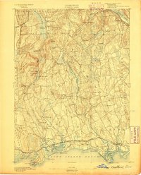
1893 · Guilford
USGS Topo · 1:62,500

1893 · Middletown
USGS Topo · 1:62,500

1893 · Meriden
USGS Topo · 1:62,500

1906 · Farmington
USGS Topo · 1:125,000
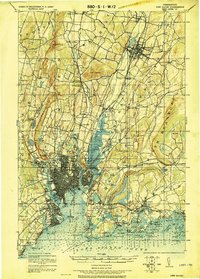
1921 · New Haven
USGS Topo · 1:62,500
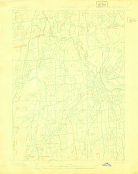
1928 · Cromwell
USGS Topo · 1:24,000
1928 · Glastonbury
USGS Topo · 1:24,000
1943 · Durham
USGS Topo · 1:25,000