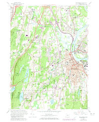
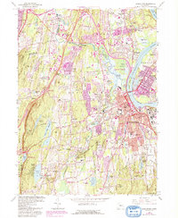
1965 Map of Middletown
USGS Topo · Published 1973About this map
The Connecticut River serves as the dominant geographic and economic axis for this mid-1960s study, separating the developed core of Middletown from Portland and Gildersleeve. The urban center is defined by the prominent campus of Wesleyan University and the industrial-transportation corridor where the Penn Central railroad and the Arrigoni Bridge converge. To the west, the landscape shifts from dense settlement to the dramatic ridges of Higby Mountain and Beseck Mountain, punctuated by the Mount Higby Reservoir and Beseck Lake.
Find a feature on this map
97 named features on this map. Tap any name to fly to it.
Don’t see what you’re looking for? This feature index may not catch every label — zoom into the map to look around manually.
Map Details
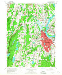
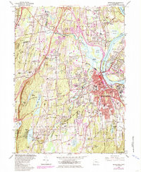
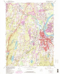
Editions of this 1965 Middletown Map
5 editions found
Other maps of this area

1892 · New Haven
USGS Topo · 1:62,500

1892 · Meriden
USGS Topo · 1:62,500

1893 · Guilford
USGS Topo · 1:62,500

1893 · Middletown
USGS Topo · 1:62,500

1893 · Meriden
USGS Topo · 1:62,500

1906 · Farmington
USGS Topo · 1:125,000

1921 · New Haven
USGS Topo · 1:62,500

1928 · Cromwell
USGS Topo · 1:24,000

1928 · Glastonbury
USGS Topo · 1:24,000

1943 · Durham
USGS Topo · 1:25,000