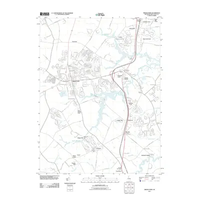
2011 Map of Middletown
USGS Topo · Published 2011About this map
Middletown and its surrounding agricultural and residential landscapes are defined by a complex network of waterways, including the winding Appoquinimink River and several significant mill ponds. This 2011 survey captures the area during a period of suburban expansion, where newer developments like Evergreen Farms and Sugar Loaf Chase sit alongside long-established rural family landmarks such as Deep Branch Farm and Thomas Corners. The presence of numerous historic burial grounds, including Saint Annes Cemetery and Forest Cemetery, provides a genealogical framework for the region. To the south, the village of Townsend serves as a local hub near Wiggins Mill Pond, while the eastern portion of the map traces the tidal influence of Blackbird Creek at Blackbird Landing. The landscape transition from the higher ground at Chestnut Hill and Gander Hill down to the creek-fed lowlands illustrates the historical reliance on water for both industry and transport in New Castle County.
Find a feature on this map
58 named features on this map. Tap any name to fly to it.
Don’t see what you’re looking for? This feature index may not catch every label — zoom into the map to look around manually.
Map Details
Editions of this 2011 Middletown Map
This is the sole edition of this map. No revisions or reprints were ever made.
Other maps of this area

1898 · Elkton
USGS Topo · 1:62,500

1899 · Dover
USGS Topo · 1:125,000

1900 · Elkton
USGS Topo · 1:62,500

1900 · Cecilton
USGS Topo · 1:62,500

1904 · Wilmington
USGS Topo · 1:62,500

1906 · Dover
USGS Topo · 1:125,000

1906 · Wilmington
USGS Topo · 1:62,500

1917 · Elkton
USGS Topo · 1:62,500

1919 · Wilmington
USGS Topo · 1:62,500

1920 · Dover
USGS Topo · 1:125,000