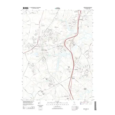
2014 Map of Middletown
USGS Topo · Published 2014About this map
Middletown serves as the central hub for this modern survey of New Castle County, showing a landscape defined by its historical waterways and agricultural foundations. The Appoquinimink River and its various tributaries like Drawyer Creek and Hangmans Run wind through the terrain, with Silver Lake and Wiggins Mill Pond highlighting the importance of managed water for early industry at Wiggins Mill. The map documents numerous burial sites vital for genealogical research, including Saint Annes Cem, Forest Cem, and Drawer Cem.
Find a feature on this map
61 named features on this map. Tap any name to fly to it.
Don’t see what you’re looking for? This feature index may not catch every label — zoom into the map to look around manually.
Map Details
Editions of this 2014 Middletown Map
This is the sole edition of this map. No revisions or reprints were ever made.
Other maps of this area

1898 · Elkton
USGS Topo · 1:62,500

1899 · Dover
USGS Topo · 1:125,000

1900 · Elkton
USGS Topo · 1:62,500

1900 · Cecilton
USGS Topo · 1:62,500

1904 · Wilmington
USGS Topo · 1:62,500

1906 · Dover
USGS Topo · 1:125,000

1906 · Wilmington
USGS Topo · 1:62,500

1917 · Elkton
USGS Topo · 1:62,500

1919 · Wilmington
USGS Topo · 1:62,500

1920 · Dover
USGS Topo · 1:125,000