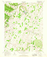
1955 Map of Middleway
USGS Topo · Published 1968About this map
Middleway and its surrounding Jefferson County countryside appear here in a period of established rural industry and deep-rooted local history. The landscape is defined by the winding course of Opequon Creek and a network of early transport routes like Smithfield Road. Significant cultural landmarks anchor the map, including the St Georges Chapel Ruins and several country houses of worship such as St Bartholomew Ch and Cedar Grove Ch.
Find a feature on this map
30 named features on this map. Tap any name to fly to it.
Don’t see what you’re looking for? This feature index may not catch every label — zoom into the map to look around manually.
Map Details
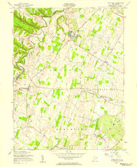
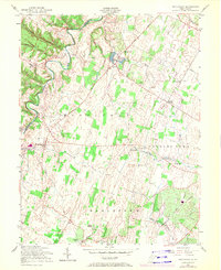
Editions of this 1955 Middleway Map
3 editions found
Other maps of this area

1884 · Harpers Ferry
USGS Topo · 1:125,000

1891 · Harpers Ferry
USGS Topo · 1:125,000

1893 · Harpers Ferry
USGS Topo · 1:125,000

1894 · Winchester
USGS Topo · 1:125,000

1914 · Martinsburg
USGS Topo · 1:48,000

1914 · Gerrardstown
USGS Topo · 1:48,000

1916 · Gerrardstown
USGS Topo · 1:62,500

1916 · Martinsburg
USGS Topo · 1:62,500

1916 · Berryville
USGS Topo · 1:62,500

1937 · Gerrardstown
USGS Topo · 1:48,000