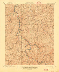
1909 Map of Midkiff
USGS Topo · Published 1948About this map
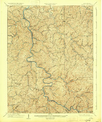
The Guyandot River winds its way through the center of this 1907 survey, defining the development patterns of southwestern West Virginia's coal and timber country. Small riverfront settlements like Midkiff and Branchland serve as the primary hubs for a network of isolated homesteads tucked into deep creek valleys. The map shows a transition in naming conventions and postal history, most notably at Brown City, while larger communities such as Griffithsville anchor the eastern ridges. Along the southern bend of the river, rail lines trace the narrow bank near Ferrellsburg and Atenville, providing critical transport through the steep terrain. This area, spanning the borders of Lincoln and Wayne counties, is marked by a maze of family-named hollows and watercourses, including Fourteenmile Creek and Sixmile Creek, which reflect the early settlement geography of the region before the modern highway era.
Find a feature on this map
114 named features on this map. Tap any name to fly to it.
Don’t see what you’re looking for? This feature index may not catch every label — zoom into the map to look around manually.
Map Details
Editions of this 1909 Midkiff Map
3 editions found

Other maps of this area

1887 · Warfield
USGS Topo · 1:125,000

1891 · Oceana
USGS Topo · 1:125,000

1891 · Warfield
USGS Topo · 1:125,000

1892 · Huntington
USGS Topo · 1:125,000

1893 · Oceana
USGS Topo · 1:125,000

1898 · Huntington
USGS Topo · 1:125,000

1898 · Oceana
USGS Topo · 1:125,000

1899 · Charleston
USGS Topo · 1:125,000

1901 · Guyandot
USGS Topo · 1:62,500

1902 · Guyandot
USGS Topo · 1:62,500