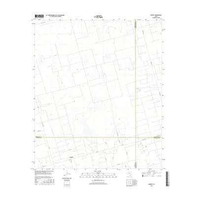
2016 Map of Midkiff
USGS Topo · Published 2016About this map
Midkiff serves as the central hub of this Permian Basin landscape, located where the boundaries of Upton, Midland, Glasscock, and Reagan counties converge. The settlement is defined by a dense network of local roads and farm-to-market routes that facilitate the region's agricultural and industrial activity. Significant transit corridors like Farm Rd 2401 and Fm 3095 weave through the terrain, connecting isolated homesteads and work sites to the larger regional infrastructure. The map reveals a highly structured grid of land divisions, with Co Rd 131 and Co Rd 118 E providing access to the interior plains. The presence of numerous small water features and depressions suggests a landscape where water management and seasonal drainage are critical to the local economy and settlement patterns.
Find a feature on this map
23 named features on this map. Tap any name to fly to it.
Don’t see what you’re looking for? This feature index may not catch every label — zoom into the map to look around manually.
Map Details
Editions of this 2016 Midkiff Map
This is the sole edition of this map. No revisions or reprints were ever made.
Other maps of this area

1954 · San Angelo
USGS Topo · 1:250,000

1958 · San Angelo
USGS Topo · 1:250,000

1965 · San Angelo
USGS Topo · 1:250,000

1965 · Salt Lake
USGS Topo · 1:24,000

1965 · Pecks Lake
USGS Topo · 1:24,000

1965 · Patterson Lake
USGS Topo · 1:24,000

1967 · Midkiff
USGS Topo · 1:24,000

1968 · Midkiff NW
USGS Topo · 1:24,000

1968 · Midkiff SW
USGS Topo · 1:24,000

1968 · Midkiff SE
USGS Topo · 1:24,000