2022 Map of Midkiff
USGS Topo · Published 2022About this map
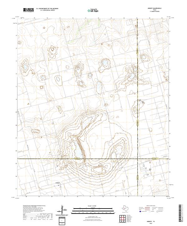
The settlement of Midkiff serves as the focal point for this 2022 survey of the Permian Basin region, situated at the intersection of four Texas counties. The map illustrates a landscape defined by an extensive grid of local routes and ranch roads, including Fm 3095 and Ranch Rd 2401, which facilitate travel through the surrounding ranching and oil-producing territory. This unique geographic vantage point reveals the convergence of Midland, Glasscock, Upton, and Reagan counties, showing how county lines such as the Midland Co Glasscock Co border segment the West Texas terrain. Smaller residential and industrial footprints appear along thoroughfares like Pecan and Co Rd 131, providing a contemporary record of local infrastructure in this vital energy-producing corridor.
Find a feature on this map
22 named features on this map. Tap any name to fly to it.
Don’t see what you’re looking for? This feature index may not catch every label — zoom into the map to look around manually.
Map Details
Editions of this 2022 Midkiff Map
This is the sole edition of this map. No revisions or reprints were ever made.
Other maps of this area

1954 · San Angelo
USGS Topo · 1:250,000

1958 · San Angelo
USGS Topo · 1:250,000

1965 · San Angelo
USGS Topo · 1:250,000

1965 · Salt Lake
USGS Topo · 1:24,000

1965 · Pecks Lake
USGS Topo · 1:24,000

1965 · Patterson Lake
USGS Topo · 1:24,000

1967 · Midkiff
USGS Topo · 1:24,000

1968 · Midkiff NW
USGS Topo · 1:24,000

1968 · Midkiff SW
USGS Topo · 1:24,000

1968 · Midkiff SE
USGS Topo · 1:24,000