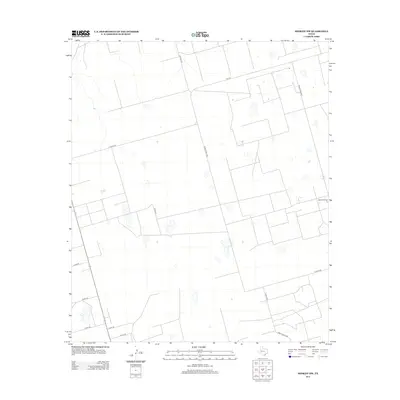
2013 Map of Midkiff NW
USGS Topo · Published 2013About this map
Midkiff Camp sits on the eastern edge of this Permian Basin landscape, representing a node of human activity in an area otherwise defined by an orderly grid of ranch and county roads. The terrain is characteristic of West Texas, marked by numerous small depressions and a network of transit routes including FM-1379 and Ranch Road 1379. The road system, with designations like S Co Rd-1160 and Co Rd-320, reflects a highly organized land division typical of the region's energy and ranching infrastructure. This 2013 survey provides a clear look at how the modern transportation network overlays the natural topography of Midland County.
Find a feature on this map
14 named features on this map. Tap any name to fly to it.
Don’t see what you’re looking for? This feature index may not catch every label — zoom into the map to look around manually.
Map Details
Editions of this 2013 Midkiff NW Map
This is the sole edition of this map. No revisions or reprints were ever made.
Other maps of this area

1954 · Pecos
USGS Topo · 1:250,000

1954 · San Angelo
USGS Topo · 1:250,000

1957 · Pecos
USGS Topo · 1:250,000

1958 · San Angelo
USGS Topo · 1:250,000

1964 · Bryant Ranch
USGS Topo · 1:24,000

1965 · San Angelo
USGS Topo · 1:250,000

1965 · Salt Lake
USGS Topo · 1:24,000

1965 · Pecks Lake
USGS Topo · 1:24,000

1967 · Midkiff
USGS Topo · 1:24,000

1968 · Benge Corner SE
USGS Topo · 1:24,000