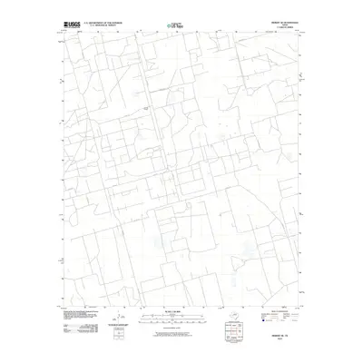
2010 Map of Midkiff SE
USGS Topo · Published 2010About this map
Barrett Ranch stands as a primary landmark in this section of Reagan County, situated within a vast landscape defined by a geometric grid of rural infrastructure. The area is characterized by an extensive network of service roads and pathways, including Canal Rd and FM 2401, which facilitate movement through the Permian Basin's high plains. This 2010 survey reflects a period of intensive land management, where the intersection of county roads like Co Rd 128 and Co Rd 138 suggests a region heavily utilized for ranching or resource extraction. The presence of numerous small water features or depressions across the terrain provides insight into the local drainage patterns and the practical geography of West Texas landholdings during the early 21st century.
Find a feature on this map
10 named features on this map. Tap any name to fly to it.
Don’t see what you’re looking for? This feature index may not catch every label — zoom into the map to look around manually.
Map Details
Editions of this 2010 Midkiff SE Map
This is the sole edition of this map. No revisions or reprints were ever made.
Other maps of this area

1928 · Rankin
USGS Topo · 1:125,000

1954 · San Angelo
USGS Topo · 1:250,000

1958 · San Angelo
USGS Topo · 1:250,000

1965 · San Angelo
USGS Topo · 1:250,000

1967 · Midkiff
USGS Topo · 1:24,000

1968 · Midkiff NW
USGS Topo · 1:24,000

1968 · Midkiff SW
USGS Topo · 1:24,000

1968 · Midkiff SE
USGS Topo · 1:24,000

1970 · Sevenmile Corner NE
USGS Topo · 1:24,000

1970 · Stiles NW
USGS Topo · 1:24,000