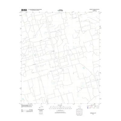
2012 Map of Midkiff SE
USGS Topo · Published 2012About this map
Barrett Ranch serves as a central landmark in this portion of Reagan County, where the landscape is defined by an extensive and orderly grid of service roads and property boundaries. The infrastructure here is heavily geared toward the region's energy and ranching operations, marked by the intersection of Ranch Road 2401 and Ranch Road 2594. Unlike many regions with irregular terrain, this area is meticulously subdivided by numbered county routes, including Co Rd-129, Co Rd-124, and Co Rd-136. Smaller local paths like Bamboo, Pecan, and Fathergilla provide access to interior parcels, while Byrd Rd reaches into the eastern sections, illustrating the functional layout of West Texas land management in the early 21st century.
Find a feature on this map
14 named features on this map. Tap any name to fly to it.
Don’t see what you’re looking for? This feature index may not catch every label — zoom into the map to look around manually.
Map Details
Editions of this 2012 Midkiff SE Map
This is the sole edition of this map. No revisions or reprints were ever made.
Other maps of this area

1928 · Rankin
USGS Topo · 1:125,000

1954 · San Angelo
USGS Topo · 1:250,000

1958 · San Angelo
USGS Topo · 1:250,000

1965 · San Angelo
USGS Topo · 1:250,000

1967 · Midkiff
USGS Topo · 1:24,000

1968 · Midkiff NW
USGS Topo · 1:24,000

1968 · Midkiff SW
USGS Topo · 1:24,000

1968 · Midkiff SE
USGS Topo · 1:24,000

1970 · Sevenmile Corner NE
USGS Topo · 1:24,000

1970 · Stiles NW
USGS Topo · 1:24,000