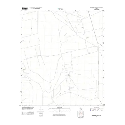
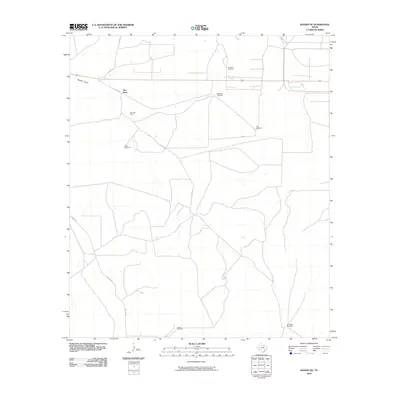
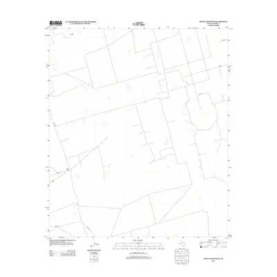
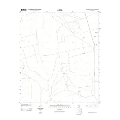
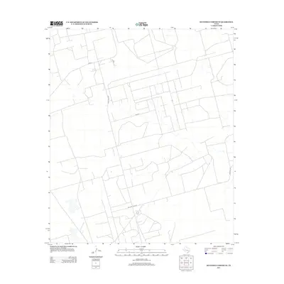
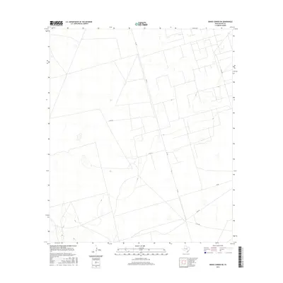
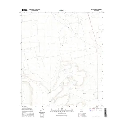
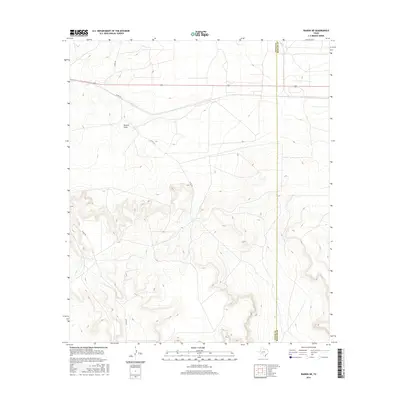
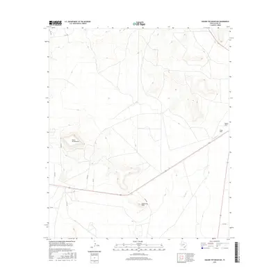
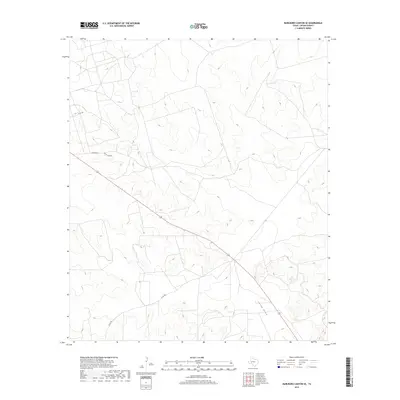
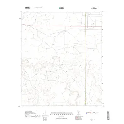
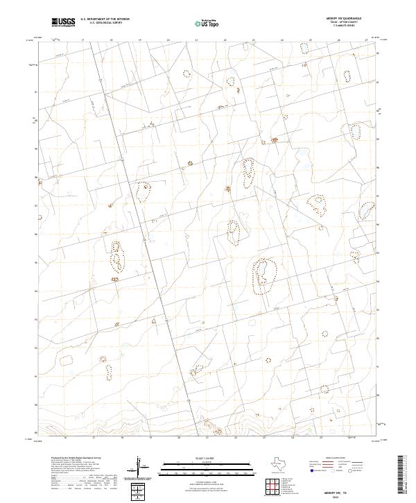
1968 Map of Midkiff SW
USGS Topo · Published 1992About this map
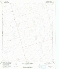
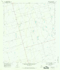
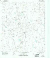
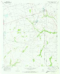
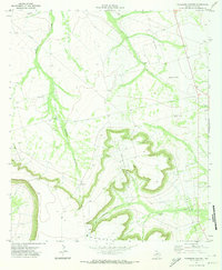
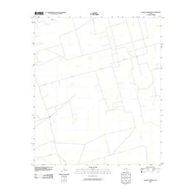
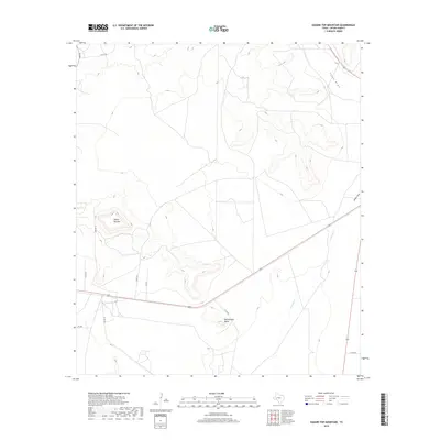
Oil wells and extraction sites dominate this Upton County landscape during the late 1960s, revealing the extensive industrial footprint of the Permian Basin's energy sector. The map document's topography, derived from 1966 aerial photography and 1968 ground surveys, captures a network of resource development characterized by numerous Gravel Pits and drill sites. A solitary Roadside Park along the primary roadway provides one of the few formal public landmarks in an area otherwise defined by utilitarian land use and extensive fencing, indicated by fine red dashed lines. The presence of these features, alongside many unnamed tanks and service roads, illustrates the transition of this West Texas terrain into a highly managed industrial field where geological potential dictated the placement of every road and structure.
Find a feature on this map
5 named features on this map. Tap any name to fly to it.
Don’t see what you’re looking for? This feature index may not catch every label — zoom into the map to look around manually.
Map Details
Editions of this 1968 Midkiff SW Map
2 editions found
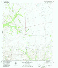
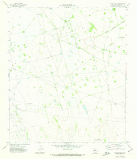
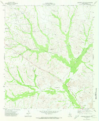
Historical Maps of Upton County Through Time
90 maps found
1968 Benge Corner SE
Upton County, TX
1968 Benge Corner SW
Upton County, TX
1968 Midkiff SE
Upton County, TX
1968 Midkiff SW
Upton County, TX
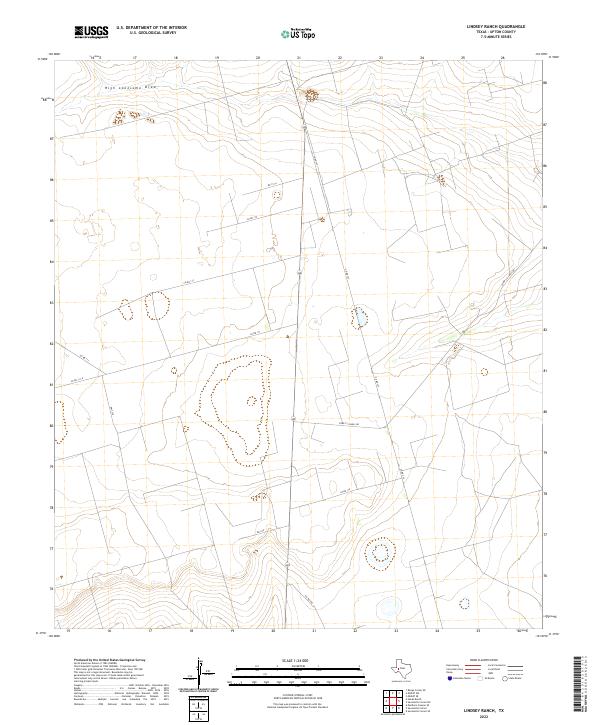
1970 Lindsey Ranch
Upton County, TX
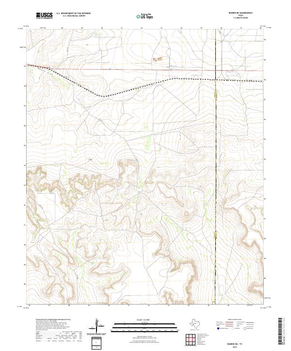
1970 Rankin NE
Upton County, TX
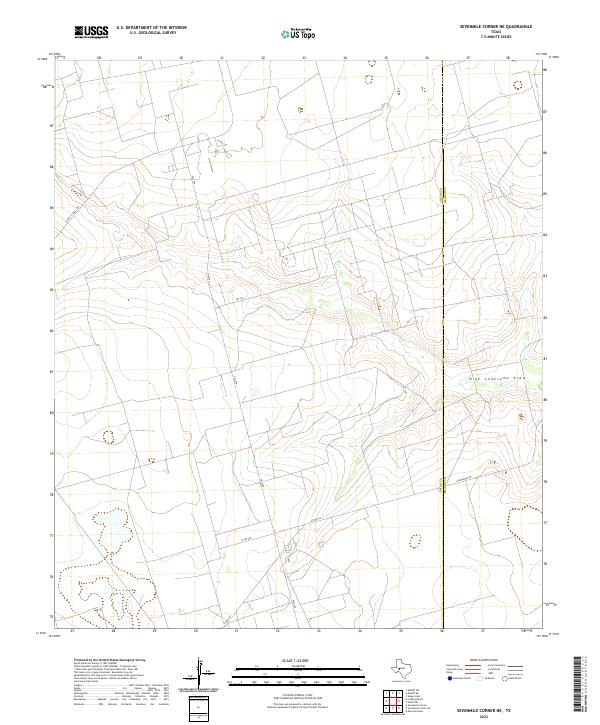
1970 Sevenmile Corner NE
Upton County, TX
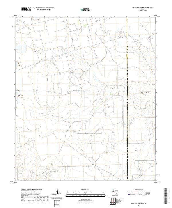
1970 Sevenmile Corner SE
Upton County, TX
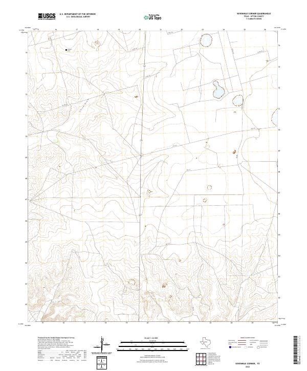
1970 Sevenmile Corner
Upton County, TX
1971 Hanks Ranch
Upton County, TX
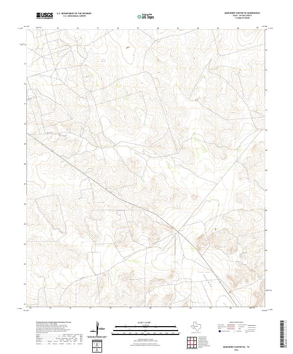
1971 Marlboro Canyon SE
Upton County, TX
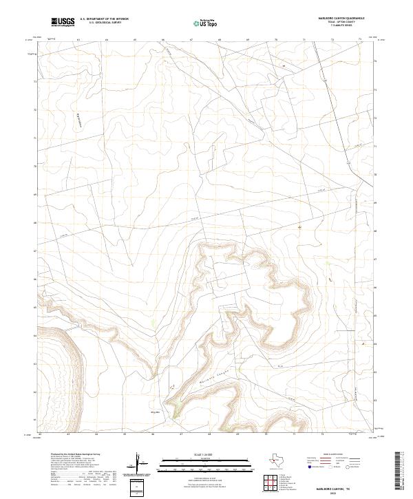
1971 Marlboro Canyon
Upton County, TX
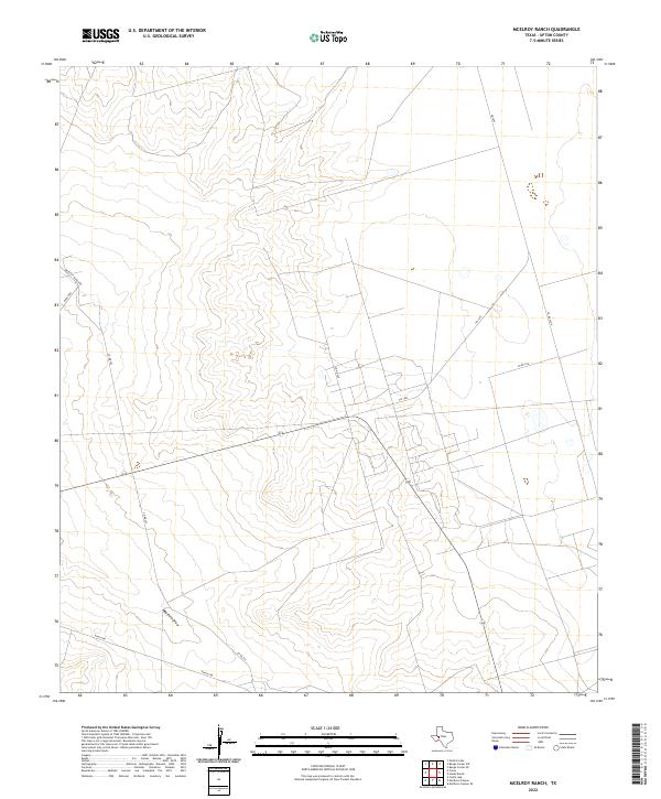
1971 McElroy Ranch
Upton County, TX
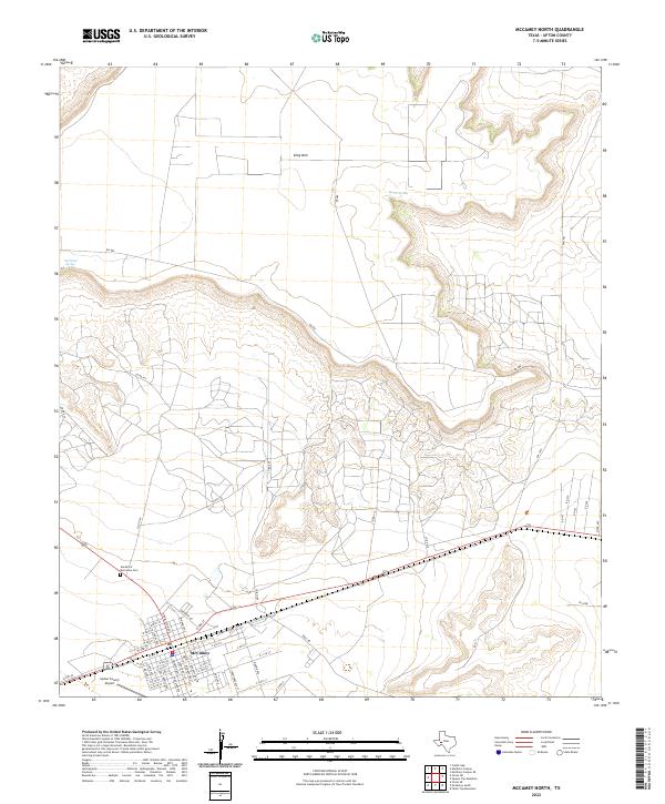
1972 McCamey North
Upton County, TX
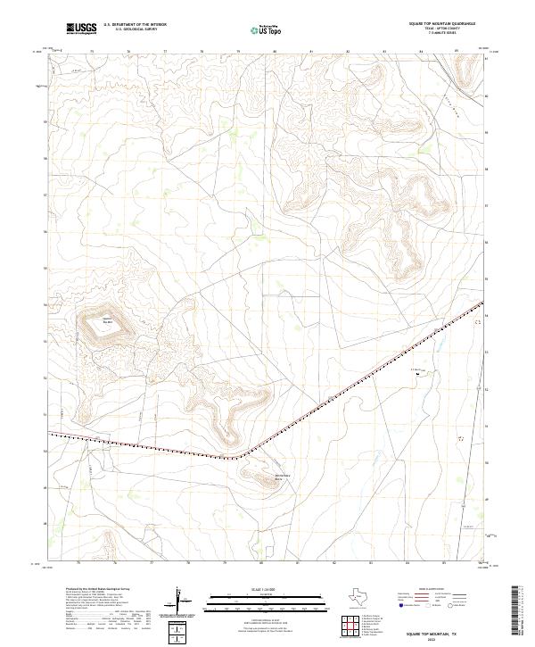
1972 Square Top Mountain
Upton County, TX
2010 Benge Corner SE
Upton County, TX
2010 Benge Corner SW
Upton County, TX
2010 Hanks Ranch
Upton County, TX

2010 Lindsey Ranch
Upton County, TX
2010 Marlboro Canyon SE
Upton County, TX
2010 Marlboro Canyon
Upton County, TX
2010 McCamey North
Upton County, TX
2010 McElroy Ranch
Upton County, TX
2010 Midkiff SE
Upton County, TX

2010 Midkiff SW
Upton County, TX
2010 Rankin NE
Upton County, TX
2010 Sevenmile Corner NE
Upton County, TX
2010 Sevenmile Corner SE
Upton County, TX

2010 Sevenmile Corner
Upton County, TX
2010 Square Top Mountain
Upton County, TX
2012 Benge Corner SE
Upton County, TX
2012 Benge Corner SW
Upton County, TX
2012 Lindsey Ranch
Upton County, TX
2012 Marlboro Canyon SE
Upton County, TX
2012 Marlboro Canyon
Upton County, TX
2012 McCamey North
Upton County, TX

2012 McElroy Ranch
Upton County, TX

2012 Midkiff SE
Upton County, TX
2012 Midkiff SW
Upton County, TX
2012 Rankin NE
Upton County, TX
2012 Sevenmile Corner NE
Upton County, TX
2012 Sevenmile Corner SE
Upton County, TX
2012 Sevenmile Corner
Upton County, TX

2012 Square Top Mountain
Upton County, TX
2013 Hanks Ranch
Upton County, TX

2016 Benge Corner SE
Upton County, TX
2016 Benge Corner SW
Upton County, TX
2016 Hanks Ranch
Upton County, TX
2016 Lindsey Ranch
Upton County, TX
2016 Marlboro Canyon SE
Upton County, TX
2016 Marlboro Canyon
Upton County, TX
2016 McCamey North
Upton County, TX
2016 McElroy Ranch
Upton County, TX

2016 Midkiff SE
Upton County, TX
2016 Midkiff SW
Upton County, TX
2016 Rankin NE
Upton County, TX
2016 Sevenmile Corner NE
Upton County, TX
2016 Sevenmile Corner SE
Upton County, TX
2016 Sevenmile Corner
Upton County, TX
2016 Square Top Mountain
Upton County, TX
2019 Benge Corner SE
Upton County, TX

2019 Benge Corner SW
Upton County, TX
2019 Hanks Ranch
Upton County, TX
2019 Lindsey Ranch
Upton County, TX
2019 Marlboro Canyon SE
Upton County, TX
2019 Marlboro Canyon
Upton County, TX
2019 McCamey North
Upton County, TX

2019 McElroy Ranch
Upton County, TX
2019 Midkiff SE
Upton County, TX

2019 Midkiff SW
Upton County, TX
2019 Rankin NE
Upton County, TX
2019 Sevenmile Corner NE
Upton County, TX
2019 Sevenmile Corner SE
Upton County, TX
2019 Sevenmile Corner
Upton County, TX
2019 Square Top Mountain
Upton County, TX
2022 Benge Corner SE
Upton County, TX
2022 Benge Corner SW
Upton County, TX
2022 Hanks Ranch
Upton County, TX
2022 Lindsey Ranch
Upton County, TX
2022 Marlboro Canyon SE
Upton County, TX
2022 Marlboro Canyon
Upton County, TX
2022 McCamey North
Upton County, TX
2022 McElroy Ranch
Upton County, TX
2022 Midkiff SE
Upton County, TX
2022 Midkiff SW
Upton County, TX
2022 Rankin NE
Upton County, TX
2022 Sevenmile Corner NE
Upton County, TX
2022 Sevenmile Corner SE
Upton County, TX
2022 Sevenmile Corner
Upton County, TX
2022 Square Top Mountain
Upton County, TX