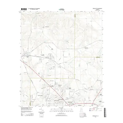
2014 Map of Midland City
USGS Topo · Published 2014About this map
Midland City and the expanding northern suburbs of Dothan are documented here just after the turn of the 21st century. The map illustrates a landscape transitioning from rural agricultural roots to a regional transportation and education hub, anchored by the Dothan Regional Airport and the George C Wallace Community College-Dothan. The Little Choctawhatchee River and its tributaries, including Harrison Mill Cr and Murphy Mill Br, provide the primary drainage for this corner of Alabama. Older community identities are preserved through landmarks like Sylvan Grove Cem and Magnolia Cem, while newer residential developments such as Griffin Heights, Denton Acres, and Peach Tree Hills trace the path of suburban growth along the Us-231 corridor.
Find a feature on this map
73 named features on this map. Tap any name to fly to it.
Don’t see what you’re looking for? This feature index may not catch every label — zoom into the map to look around manually.
Map Details
Editions of this 2014 Midland City Map
This is the sole edition of this map. No revisions or reprints were ever made.
Other maps of this area

1942 · Enterprise
USGS Topo · 1:125,000

1948 · Ozark
USGS Topo · 1:62,500

1950 · Ozark
USGS Topo · 1:62,500

1953 · Dothan
USGS Topo · 1:250,000

1954 · Dothan
USGS Topo · 1:250,000

1955 · Dothan
USGS Topo · 1:250,000

1957 · Malvern
USGS Topo · 1:24,000

1957 · Hartford
USGS Topo · 1:62,500

1960 · Ewell
USGS Topo · 1:24,000

1960 · Pinckard
USGS Topo · 1:24,000