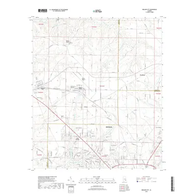
2018 Map of Midland City
USGS Topo · Published 2018About this map
Dothan anchors the southern portion of this region, where the urban grid meets the agricultural landscapes of the Alabama Wiregrass. The area is defined by the convergence of the East Fork Choctawhatchee River and the Little Choctawhatchee River, which create a network of smaller streams like Harrison-Mill Cr and Burdeshaw Mill Cr. Aviation and education are central to the local geography, represented by the Dothan Regional Airport at Napier Field and the campus of George C Wallace Community College-Dothan.
Find a feature on this map
178 named features on this map. Tap any name to fly to it.
Don’t see what you’re looking for? This feature index may not catch every label — zoom into the map to look around manually.
Map Details
Editions of this 2018 Midland City Map
This is the sole edition of this map. No revisions or reprints were ever made.
Other maps of this area

1942 · Enterprise
USGS Topo · 1:125,000

1948 · Ozark
USGS Topo · 1:62,500

1950 · Ozark
USGS Topo · 1:62,500

1953 · Dothan
USGS Topo · 1:250,000

1954 · Dothan
USGS Topo · 1:250,000

1955 · Dothan
USGS Topo · 1:250,000

1957 · Malvern
USGS Topo · 1:24,000

1957 · Hartford
USGS Topo · 1:62,500

1960 · Ewell
USGS Topo · 1:24,000

1960 · Pinckard
USGS Topo · 1:24,000