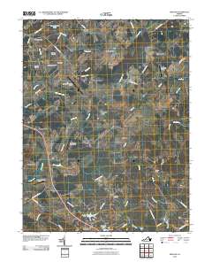
2010 Map of Midland
USGS Topo · Published 2010About this map
Midland and its surrounding hamlets in Fauquier County define a landscape of aviation and agricultural heritage. The region is notable for its numerous landing strips and airfields, ranging from the regional Warrenton-Fauquier Airport to the specialized Flying Circus Aerodrome and Rhynalds Ranch Airport. This distribution of infrastructure suggests a unique local reliance on private and recreational flight during the early 21st century.
Find a feature on this map
61 named features on this map. Tap any name to fly to it.
Don’t see what you’re looking for? This feature index may not catch every label — zoom into the map to look around manually.
Map Details
Editions of this 2010 Midland Map
This is the sole edition of this map. No revisions or reprints were ever made.
Other maps of this area

1887 · Spottsylvania
USGS Topo · 1:125,000

1892 · Spottsylvania
USGS Topo · 1:125,000

1894 · Warrenton
USGS Topo · 1:125,000

1894 · Warrenton
USGS Topo · 1:62,500

1927 · Remington
USGS Topo · 1:48,000

1930 · Warrenton
USGS Topo · 1:62,500

1943 · Catlett
USGS Topo · 1:62,500

1943 · Germanna Bridge
USGS Topo · 1:24,000

1943 · Midland
USGS Topo · 1:24,000
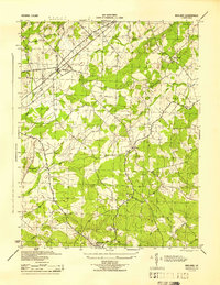
1944 · Midland
USGS Topo · 1:31,680