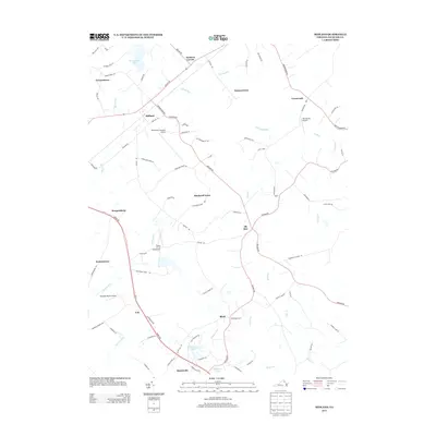
2013 Map of Midland
USGS Topo · Published 2013About this map
Midland and Morrisville serve as central nodes in this pocket of Fauquier County, where a legacy of small settlements and private aviation defines the landscape. The area is characterized by a high density of named locales, including Eustacestown, Blackwell Town, and Morgansburg, suggesting a long history of family-founded hamlets and crossroads communities. The terrain is marked by numerous watercourses such as Licking Run, Windright Run, and Marsh Run, which flow through what is identified as Cattle Land.
Find a feature on this map
80 named features on this map. Tap any name to fly to it.
Don’t see what you’re looking for? This feature index may not catch every label — zoom into the map to look around manually.
Map Details
Editions of this 2013 Midland Map
This is the sole edition of this map. No revisions or reprints were ever made.
Other maps of this area

1887 · Spottsylvania
USGS Topo · 1:125,000

1892 · Spottsylvania
USGS Topo · 1:125,000

1894 · Warrenton
USGS Topo · 1:125,000

1894 · Warrenton
USGS Topo · 1:62,500

1927 · Remington
USGS Topo · 1:48,000

1930 · Warrenton
USGS Topo · 1:62,500

1943 · Catlett
USGS Topo · 1:62,500

1943 · Germanna Bridge
USGS Topo · 1:24,000

1943 · Midland
USGS Topo · 1:24,000
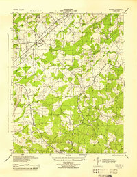
1944 · Midland
USGS Topo · 1:31,680