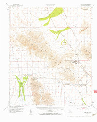
1952 Map of Midland
USGS Topo · Published 1958About this map
Midland stands as a primary industrial hub within the Colorado Desert, supporting the region's mineral extraction efforts in the early 1950s. The landscape is defined by the sharp rise of the Little Maria Mountains and the Mc Coy Mountains, where mining operations like the Eagle Nest Mines and Arlington Mine mark the slopes. The Atchison Topeka and Santa Fe railroad serves as the vital corridor through this arid basin, connecting the settlement of Inca and Cox to larger transport networks. This survey preserves the locations of early resource points and historical markers such as the Black Jack Tunnel and several designated sites including Browns Well and Gypsum Well. The shifting environment of the Sand Dunes and the broad Rice Valley further characterize the terrain, while the presence of a Landing Strip and Sewage Disposal at the company town indicates its mid-century infrastructure.
Find a feature on this map
25 named features on this map. Tap any name to fly to it.
Don’t see what you’re looking for? This feature index may not catch every label — zoom into the map to look around manually.
Map Details
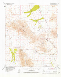
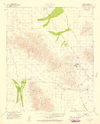
Editions of this 1952 Midland Map
4 editions found

Other maps of this area

1942 · Blythe
USGS Topo · 1:250,000

1942 · Amboy
USGS Topo · 1:250,000

1943 · Amboy
USGS Topo · 1:250,000

1943 · Vidal
USGS Topo · 1:62,500

1943 · Iron Mountains
USGS Topo · 1:62,500

1945 · Big Maria Mtns
USGS Topo · 1:62,500

1945 · Midland
USGS Topo · 1:62,500

1949 · Vidal
USGS Topo · 1:62,500

1950 · Vidal
USGS Topo · 1:62,500

1951 · Big Maria Mts
USGS Topo · 1:62,500