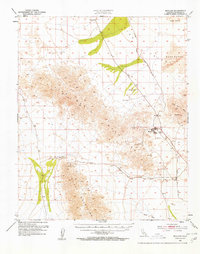
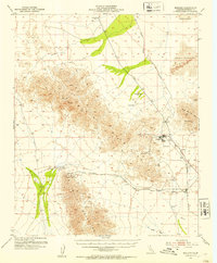
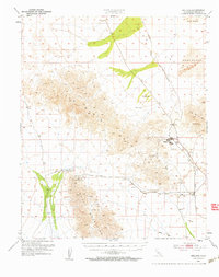
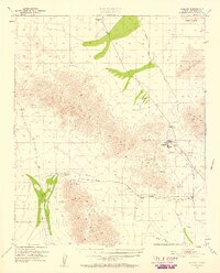
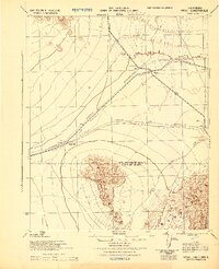
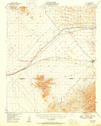
1952 Map of Midland
USGS Topo · Published 1958About this map
Midland stands as a focal point in this desert landscape, characterized by the industrial footprint of gypsum mining and rail transit in the early 1950s. The settlement is positioned near a Landing Strip and a dedicated Sewage Disposal facility, serving as a hub for the surrounding mineral extraction operations. The Atchison Topeka and Santa Fe railroad provides the primary connection through the region, linking the small stations of Inca and Cox to the broader California rail network.
Find a feature on this map
22 named features on this map. Tap any name to fly to it.
Don’t see what you’re looking for? This feature index may not catch every label — zoom into the map to look around manually.
Map Details
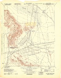
Editions of this 1952 Midland Map
4 editions found
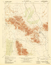
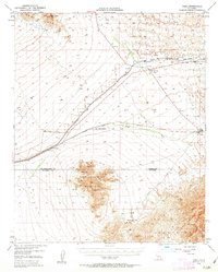
Other maps of this area

1942 · Blythe
USGS Topo · 1:250,000

1942 · Amboy
USGS Topo · 1:250,000

1943 · Amboy
USGS Topo · 1:250,000
1943 · Vidal
USGS Topo · 1:62,500
1943 · Iron Mountains
USGS Topo · 1:62,500

1945 · Big Maria Mtns
USGS Topo · 1:62,500
1945 · Midland
USGS Topo · 1:62,500
1949 · Vidal
USGS Topo · 1:62,500
1950 · Vidal
USGS Topo · 1:62,500
1951 · Big Maria Mts
USGS Topo · 1:62,500