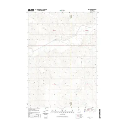
2015 Map of Midland SE
USGS Topo · Published 2015About this map
The Bad River carves a winding path through the central portion of this Jones County landscape, creating a distinct riparian corridor amidst the surrounding drainage networks. This 2015 survey reveals a terrain defined by subtle elevation changes and several significant watercourses, including Lone Tree Cr and Little Prairie Dog Cr, which feed into the primary river valley.
Find a feature on this map
19 named features on this map. Tap any name to fly to it.
Don’t see what you’re looking for? This feature index may not catch every label — zoom into the map to look around manually.
Map Details
Editions of this 2015 Midland SE Map
This is the sole edition of this map. No revisions or reprints were ever made.
Other maps of this area

1951 · Capa
USGS Topo · 1:24,000

1951 · Capa NW
USGS Topo · 1:24,000

1954 · Midland
USGS Topo · 1:24,000

1954 · Midland SE
USGS Topo · 1:24,000

1954 · Pierre
USGS Topo · 1:250,000

1955 · Martin
USGS Topo · 1:250,000

1958 · Pierre
USGS Topo · 1:250,000

1958 · Martin
USGS Topo · 1:250,000

1972 · Okaton
USGS Topo · 1:24,000

1972 · Stamford NW
USGS Topo · 1:24,000