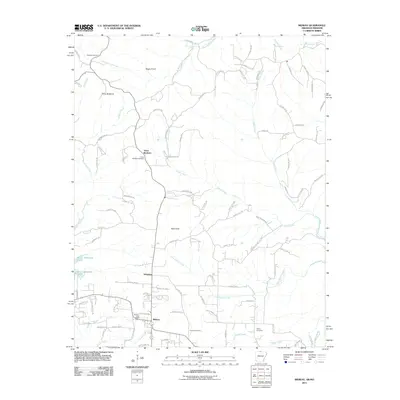
2011 Map of Midway
USGS Topo · Published 2011About this map
Midway serves as a central hub on this Baxter County landscape, where the Midway Post Office anchors a network of rural roads including County Rd 10 and County Rd 510. The map reveals a transition from the structured plots around the settlement to the more winding terrain leading toward the shores of Bull Shoals Lake in the west. Distinctive terrain features like Negro Knob and Bald Dave rise above a landscape carved by numerous drainages, such as Hutch Creek and Little Pigeon Creek.
Find a feature on this map
96 named features on this map. Tap any name to fly to it.
Don’t see what you’re looking for? This feature index may not catch every label — zoom into the map to look around manually.
Map Details
Editions of this 2011 Midway Map
This is the sole edition of this map. No revisions or reprints were ever made.
Other maps of this area

1890 · Mountain Home
USGS Topo · 1:125,000

1891 · Mountain Home
USGS Topo · 1:125,000

1893 · Yellville
USGS Topo · 1:125,000

1894 · Mountain Home
USGS Topo · 1:125,000

1903 · Yellville
USGS Topo · 1:125,000

1905 · Yellville
USGS Topo · 1:125,000

1929 · Yellville
USGS Topo · 1:125,000

1934 · Gainesville
USGS Topo · 1:48,000

1936 · Thornfield
USGS Topo · 1:48,000

1940 · Gainesville
USGS Topo · 1:62,500