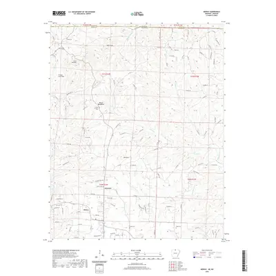
2020 Map of Midway
USGS Topo · Published 2020About this map
Midway and Arkawana anchor the central and southern reaches of this Baxter County landscape near the border of Missouri and Arkansas. The terrain is defined by a dense network of ridges and watercourses, including Promise Land Ridge and prominent elevations such as Negro Knob and Bald Dave. The hydrography is dominated by the many branches of Pigeon Creek, which carve deep valleys across the quadrangle.
Find a feature on this map
110 named features on this map. Tap any name to fly to it.
Don’t see what you’re looking for? This feature index may not catch every label — zoom into the map to look around manually.
Map Details
Editions of this 2020 Midway Map
This is the sole edition of this map. No revisions or reprints were ever made.
Other maps of this area

1890 · Mountain Home
USGS Topo · 1:125,000

1891 · Mountain Home
USGS Topo · 1:125,000

1893 · Yellville
USGS Topo · 1:125,000

1894 · Mountain Home
USGS Topo · 1:125,000

1903 · Yellville
USGS Topo · 1:125,000

1905 · Yellville
USGS Topo · 1:125,000

1929 · Yellville
USGS Topo · 1:125,000

1934 · Gainesville
USGS Topo · 1:48,000

1936 · Thornfield
USGS Topo · 1:48,000

1940 · Gainesville
USGS Topo · 1:62,500