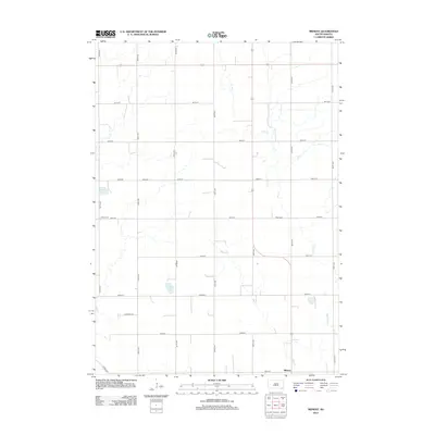
2012 Map of Midway
USGS Topo · Published 2012About this map
The settlement of Midway sits at the southern edge of this Jamesville Township landscape, where the prairie is defined by a grid of agricultural section lines and winding watercourses. The local hydrology is marked by the presence of Ulmer Lake and Guthmiller Lake, along with the drainages of Clay Cr, Mud Cr, and Smoky Run. These features suggest a terrain where seasonal water and drainage patterns shaped the placement of farms and roads.
Find a feature on this map
25 named features on this map. Tap any name to fly to it.
Don’t see what you’re looking for? This feature index may not catch every label — zoom into the map to look around manually.
Map Details
Editions of this 2012 Midway Map
This is the sole edition of this map. No revisions or reprints were ever made.
Other maps of this area

1898 · Olivet
USGS Topo · 1:125,000

1898 · Parker
USGS Topo · 1:125,000

1955 · Sioux Falls
USGS Topo · 1:250,000

1957 · Mayfield
USGS Topo · 1:24,000

1957 · Midway
USGS Topo · 1:24,000

1957 · Menno
USGS Topo · 1:24,000

1957 · Wolf Creek
USGS Topo · 1:24,000

1957 · Jamesville
USGS Topo · 1:24,000

1958 · Sioux Falls
USGS Topo · 1:250,000

1970 · Turkey Ridge
USGS Topo · 1:24,000