Old Maps of Molan Township, South Dakota
Explore 25 old maps of Molan Township, spanning from 1898 to today. These high-resolution historic maps reveal how streets, neighborhoods, landmarks, and natural features evolved over time — perfect for genealogy, metal detecting, research, and local history exploration.
What you can do with these maps:
- See how Molan Township changed over time: Compare historical maps to modern-day views to trace roads, homesites, rail lines & more.
- View detailed metadata: Each map includes creators, publishers, year, scale, and archive source.
- Overlay maps with satellite & LiDAR: Visualize the past alongside modern tools to explore terrain & human change.
- Trusted historical sources: Maps sourced from the USGS, Library of Congress, and other archives.
- Access maps your way: View online, download high-res files, or order prints for personal or research use.
Start exploring old maps of Molan Township to uncover forgotten places, hidden landmarks, and the deep history beneath your feet.
Molan Township, SD maps
(25)- 1898 Map of Olivet
 1898 Olivet1898 Print · USGSHutchinson County at the close of the nineteenth century was a landscape of emerging rail towns and river valley farmsteads. Trace the early expansion of the Chicago Milwaukee and St Paul RR near Olivet and Scotland.4 unique versions available
 - 1898 Map of Parker
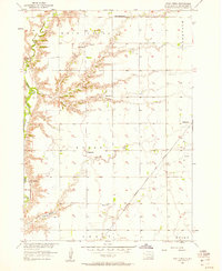
 1898 Parker1898 Print · USGSSoutheastern South Dakota in the late nineteenth century shows a landscape defined by the expansion of the Chicago and Northwestern railroad. Genealogists and local historians can trace early settlements and pioneer-era post offices like Idylwilde, Hurley, and the prominent rise of Turkey Ridge.4 unique versions available
 - 1955 Map of Sioux Falls, 1967 Print
 1955 Sioux Falls1967 Print · USGSThe eastern South Dakota and western Minnesota borderlands come alive in the mid-fifties, showing the vital rail-to-river connections of the era. Genealogists can trace family footprints across townships like Madison and Pipestone, while following the paths of the Big Sioux River and the Chicago and North Western line.3 unique versions available
 - 1957 Map of Midway, 1958 Print
 1957 Midway1958 Print · USGSSoutheastern South Dakota in the late fifties is captured here as a landscape of section-line roads and prairie townships. Researchers can trace rural genealogy through numerous family-named landmarks and local institutions like Ulmer Cem, Bender Sch, and Bethlehem Ch.2 unique versions available
 - 1957 Map of Menno, 1958 Print
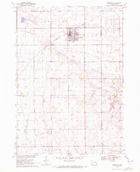
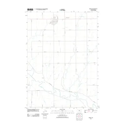
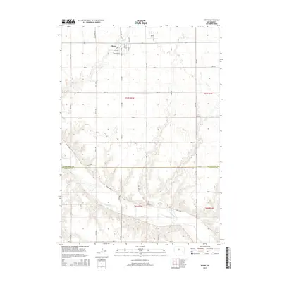
 1957 Menno1958 Print · USGSHutchinson County agriculture and river life are captured here in the mid-1950s as the regional rail network still anchored local trade. Researchers can locate numerous rural schools and churches, including Norway Sch, Ebenezer Ch, and the town of Menno.
 - 1957 Map of Wolf Creek, 1958 Print
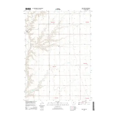
 1957 Wolf Creek1958 Print · USGSHutchinson County prairie life in the late fifties centered on remote townships and the steam-and-diesel corridor of the Chicago Milwaukee St Paul and Pacific. Genealogists can trace family footprints at Walz Cem, Kassel Sch, and Zion Ch.
 - 1958 Map of Sioux Falls
 1958 Sioux Falls1958 Print · USGSThe tri-state borderlands of South Dakota, Minnesota, and Iowa are captured here during the mid-century peak of the regional rail network. Genealogists and historians can trace local landmarks like Augustana Academy, the St Marys Cem, and the path of the Illinois Central through Rock Rapids.
 - 1970 Map of Freeman, 1972 Print
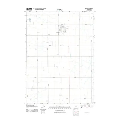
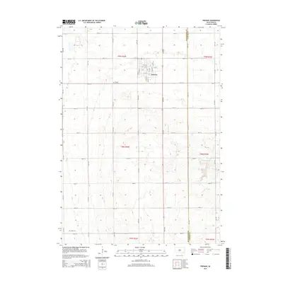
 1970 Freeman1972 Print · USGSHutchinson County agriculture and education are centered here in the early 1970s as the rail line still serves the prairie. Genealogists can trace family landmarks like Knodel Cem, Brookside Sch, and the campus of Freeman Jr College.
 - 1985 Map of Freeman
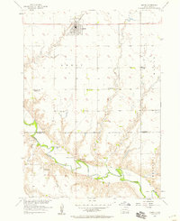
 1985 Freeman1985 Print · USGSThe James River valley in the mid-1980s reveals a landscape of communal farming colonies and railroad-anchored prairie towns. Researchers can trace the layout of several Hutterite settlements like Maxwell Colony or locate local landmarks like Gagna Station and Turkey Ridge.2 unique versions available
 - 2012 Map of Wolf Creek, 2012 Print
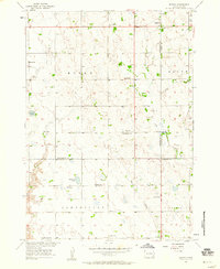
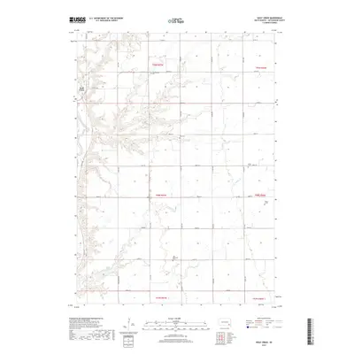
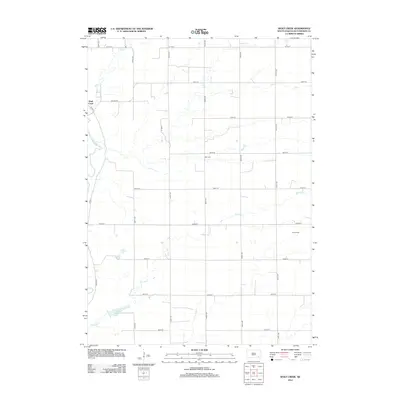 2012 Wolf Creek2012 Print · USGSCovers Molan Township, including Wolf Creek Hutterite Colony, Grandview Township, and other nearby areas
 - 2012 Map of Menno, 2012 Print
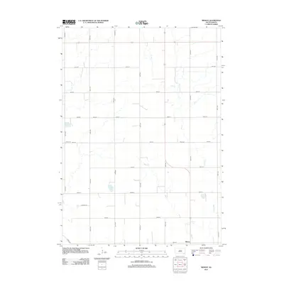
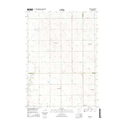
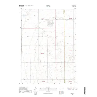
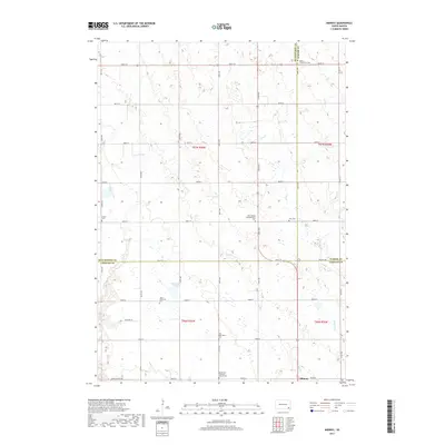
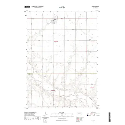
 2012 Menno2012 Print · USGSCovers Molan Township, including Menno, Odessa Township, and other nearby areas
 - 2012 Map of Freeman, 2012 Print
 2012 Freeman2012 Print · USGSCovers Molan Township, including Freeman, Rosefield Township, and other nearby areas
 - 2012 Map of Midway, 2012 Print
 2012 Midway2012 Print · USGSCovers Molan Township, including Midway, Salem Township, and other nearby areas
 - 2015 Map of Menno, 2015 Print
 2015 Menno2015 Print · USGSCovers Molan Township, including Menno, Odessa Township, and other nearby areas
 - 2015 Map of Midway, 2015 Print
 2015 Midway2015 Print · USGSCovers Molan Township, including Midway, Salem Township, and other nearby areas
 - 2015 Map of Freeman, 2015 Print
 2015 Freeman2015 Print · USGSCovers Molan Township, including Freeman, Rosefield Township, and other nearby areas
 - 2015 Map of Wolf Creek, 2015 Print
 2015 Wolf Creek2015 Print · USGSCovers Molan Township, including Wolf Creek Hutterite Colony, Grandview Township, and other nearby areas
 - 2017 Map of Freeman, 2017 Print
 2017 Freeman2017 Print · USGSCovers Molan Township, including Freeman, Rosefield Township, and other nearby areas
 - 2017 Map of Midway, 2017 Print
 2017 Midway2017 Print · USGSCovers Molan Township, including Midway, Salem Township, and other nearby areas
 - 2017 Map of Menno, 2017 Print
 2017 Menno2017 Print · USGSCovers Molan Township, including Menno, Odessa Township, and other nearby areas
 - 2017 Map of Wolf Creek, 2017 Print
 2017 Wolf Creek2017 Print · USGSCovers Molan Township, including Wolf Creek Hutterite Colony, Grandview Township, and other nearby areas
 - 2021 Map of Midway, 2021 Print
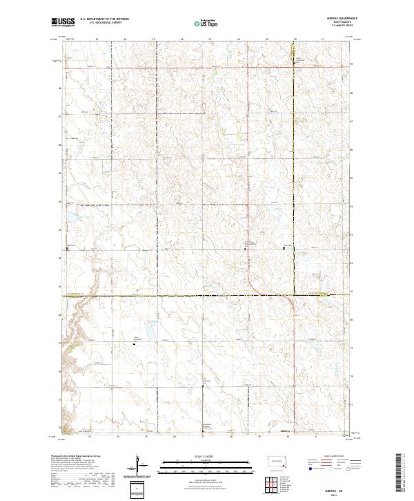 2021 Midway2021 Print · USGSThe rural intersections of Hutchinson and Yankton counties are captured here in the early twenty-first century. Genealogists can trace a remarkable concentration of pioneer-era burial grounds, from Old Bethlehem Cem to the Salem Community Cem and Ulmer Cem.
 - 2021 Map of Wolf Creek, 2021 Print
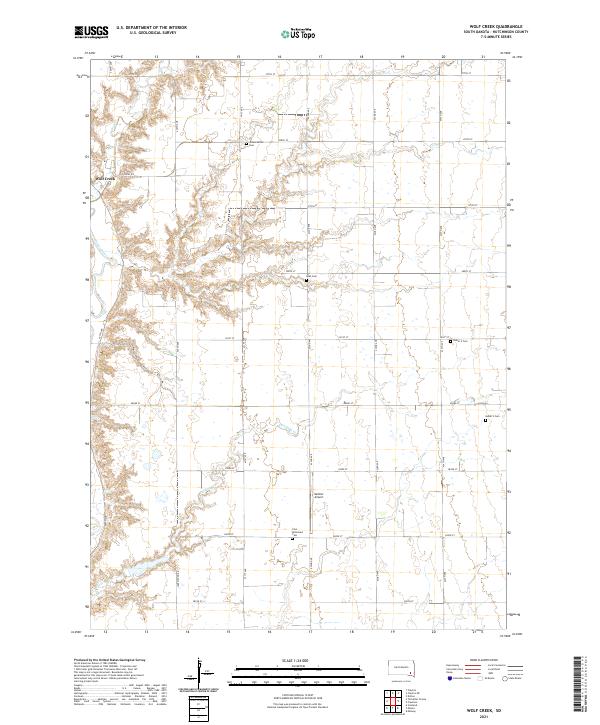 2021 Wolf Creek2021 Print · USGSHutchinson County at the start of the 2020s shows a landscape of steady agriculture and deep-rooted community ties. Genealogists can trace family names and early church sites at the Johannestahl Cem, Walz Cem, and Zion Reformed Cem.
 - 2021 Map of Menno, 2021 Print
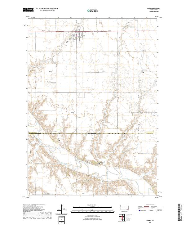 2021 Menno2021 Print · USGSHutchinson and Yankton counties come together here during the early twenty-first century, centered on the grid-patterned town of Menno. Local researchers can trace family sites at Ebenezer Reformed Cem or follow the winding James River as it passes Stone Church Rd.
 - 2021 Map of Freeman, 2021 Print
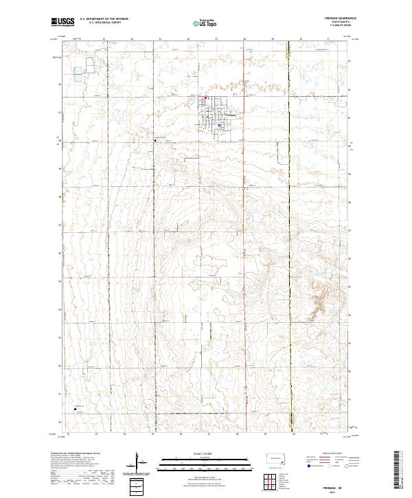 2021 Freeman2021 Print · USGSThe town of Freeman and the surrounding farmland are captured here in the early 2020s, showing the intersection of rural life and natural prairie drainage. Researchers can trace family history at the Freeman Cem and Knodel Cem or follow the path of Turkey Ridge Cr.
End of results
Showing maps 1-25 of 25
Top cities near Molan Township
- Freeman historical maps
- Marion historical maps
- Menno historical maps
- Mayfield historical maps
- Spring Valley historical maps
- Wolf Creek Hutterite Colony historical maps
See more
Frequently asked questions
- What are the different types of historical maps available for Molan Township?
- What is the oldest map of Molan Township?
- Where can I purchase historical maps of Molan Township for my home or office?
- Where can I download high-res historical maps of Molan Township?
- Are there historical topographic maps available for Molan Township?
- Is there historical aerial imagery available for Molan Township?
- Where are historical maps of Molan Township sourced from?