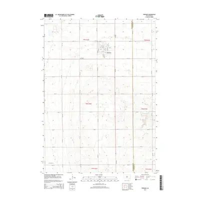
2015 Map of Freeman
USGS Topo · Published 2015About this map
Freeman sits at the northern edge of this agricultural landscape in Hutchinson County, appearing as a developed grid along the section lines of the South Dakota prairie. The town's layout is meticulously detailed, showing the residential and commercial street network from E 2nd St down to E 7th St. Outside the town center, the terrain is defined by the steady drainages of Turkey Ridge Cr and Clay Cr, which carve subtle paths through the high plains. For those researching local families, the map identifies the Freeman Cemetery just south of the main settlement and the Knodel Cem in the southwestern corner near 285th St. This 2015 survey provides a clear look at the intersection of rural land management and small-town development, marked by the prominent boundary of the Hutchinson Co Turner Co line running vertically through the eastern sections.
Find a feature on this map
25 named features on this map. Tap any name to fly to it.
Don’t see what you’re looking for? This feature index may not catch every label — zoom into the map to look around manually.
Map Details
Editions of this 2015 Freeman Map
This is the sole edition of this map. No revisions or reprints were ever made.
Other maps of this area

1898 · Olivet
USGS Topo · 1:125,000

1898 · Parker
USGS Topo · 1:125,000

1955 · Sioux Falls
USGS Topo · 1:250,000

1957 · Midway
USGS Topo · 1:24,000

1957 · Menno
USGS Topo · 1:24,000

1957 · Wolf Creek
USGS Topo · 1:24,000

1958 · Sioux Falls
USGS Topo · 1:250,000

1970 · Turkey Ridge
USGS Topo · 1:24,000

1970 · Clayton NE
USGS Topo · 1:24,000

1970 · Freeman SE
USGS Topo · 1:24,000