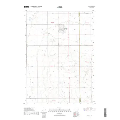
2017 Map of Freeman
USGS Topo · Published 2017About this map
Freeman serves as the central hub of this agricultural landscape in the late 2010s, situated at the intersection of local routes and S Dakota Hwy 44. The town's grid is well-defined by streets such as S Main St, S Walnut St, and E College Ave, reflecting its role as a regional center for education and commerce. Outside the town limits, the terrain is partitioned by a precise section-line road network, including 439th Ave and 279th St, which trace the productive prairie lands of the Missouri Plateau. Waterways like Turkey Ridge Cr and Clau Cr wind through the fields, while the Hutchinson Co / Turner Co boundary marks the eastern edge of the survey. Local history and genealogy are anchored by sites such as the Freeman Cem and the more remote Knodel Cem to the south.
Find a feature on this map
42 named features on this map. Tap any name to fly to it.
Don’t see what you’re looking for? This feature index may not catch every label — zoom into the map to look around manually.
Map Details
Editions of this 2017 Freeman Map
This is the sole edition of this map. No revisions or reprints were ever made.
Other maps of this area

1898 · Olivet
USGS Topo · 1:125,000

1898 · Parker
USGS Topo · 1:125,000

1955 · Sioux Falls
USGS Topo · 1:250,000

1957 · Midway
USGS Topo · 1:24,000

1957 · Menno
USGS Topo · 1:24,000

1957 · Wolf Creek
USGS Topo · 1:24,000

1958 · Sioux Falls
USGS Topo · 1:250,000

1970 · Turkey Ridge
USGS Topo · 1:24,000

1970 · Clayton NE
USGS Topo · 1:24,000

1970 · Freeman SE
USGS Topo · 1:24,000