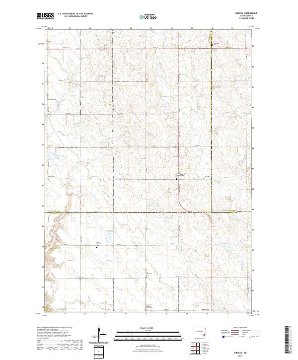
2021 Map of Midway
USGS Topo · Published 2021About this map
Midway sits at the southern edge of this landscape where the boundaries of Hutchinson, Turner, and Yankton counties meet. This prairie terrain is defined by a consistent section-line road grid, including 286th St and Stone Church Rd, which organizes a predominantly agricultural countryside. The map reveals a high density of rural religious and burial sites, suggesting a deeply rooted community history tied to specific denominational lineages. Notable sites include the Bethlehem Lutheran Church Cem, Zion Oswald Congregational Cem, and the Saron Reformed Cem. Water features such as Ulmer Lake and Guthmiller Lake interrupt the terrestrial grid, while Clay Cr and Smoky Run provide the primary drainage for these upland plains. The distribution of these family and community landmarks offers a clear view of the settlement patterns that established this part of South Dakota.
Find a feature on this map
37 named features on this map. Tap any name to fly to it.
Don’t see what you’re looking for? This feature index may not catch every label — zoom into the map to look around manually.
Map Details
Editions of this 2021 Midway Map
This is the sole edition of this map. No revisions or reprints were ever made.
Other maps of this area

1898 · Olivet
USGS Topo · 1:125,000

1898 · Parker
USGS Topo · 1:125,000

1955 · Sioux Falls
USGS Topo · 1:250,000

1957 · Mayfield
USGS Topo · 1:24,000

1957 · Midway
USGS Topo · 1:24,000

1957 · Menno
USGS Topo · 1:24,000

1957 · Wolf Creek
USGS Topo · 1:24,000

1957 · Jamesville
USGS Topo · 1:24,000

1958 · Sioux Falls
USGS Topo · 1:250,000

1970 · Turkey Ridge
USGS Topo · 1:24,000