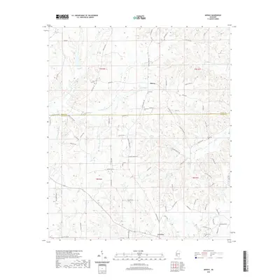
2020 Map of Midway
USGS Topo · Published 2020About this map
Midway and the surrounding piney woods of south-central Mississippi appear here during a period of modern rural connectivity. The landscape is defined by the winding course of the S Fork Homochitto River and its numerous tributaries, including Sweetwater Cr and Providence Cr. For family historians, the area is rich with specific burial sites such as Mercy Seat Cem, Sweetwater Cem, and Peets Cem, reflecting the deep-rooted community ties of Copiah Co and Lincoln Co.
Find a feature on this map
76 named features on this map. Tap any name to fly to it.
Don’t see what you’re looking for? This feature index may not catch every label — zoom into the map to look around manually.
Map Details
Editions of this 2020 Midway Map
This is the sole edition of this map. No revisions or reprints were ever made.
Other maps of this area

1953 · Natchez
USGS Topo · 1:250,000

1956 · Natchez
USGS Topo · 1:250,000

1959 · Natchez
USGS Topo · 1:250,000

1963 · Smyrna
USGS Topo · 1:24,000

1963 · Hazlehurst
USGS Topo · 1:24,000

1963 · Barlow
USGS Topo · 1:24,000

1972 · Midway
USGS Topo · 1:24,000

1972 · McCall Creek
USGS Topo · 1:24,000

1972 · Caseyville
USGS Topo · 1:24,000

1972 · Brookhaven
USGS Topo · 1:24,000