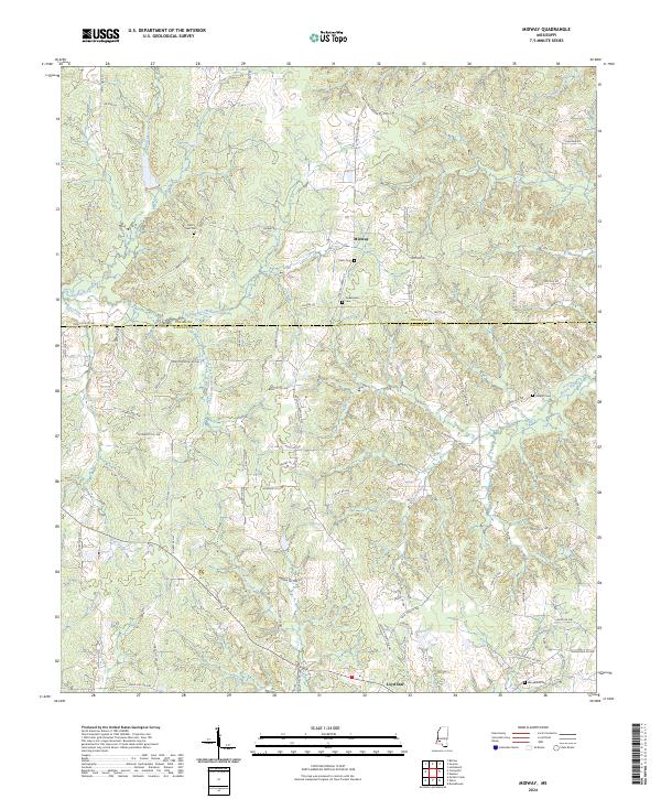
2024 Map of Midway
USGS Topo · Published 2024About this map
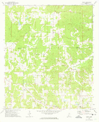
Midway and Loyd Star anchor this rural landscape in the 2020s, situated along the shared boundary of Copiah Co and Lincoln Co. This region is defined by an intricate network of waterways, including the South Fork Homochitto River and Bayou Pierre, which carve through a dense grid of local roads and family-named lanes. For genealogists and local historians, the presence of several small burial grounds such as Mercy Seat Cem, Peets Cem, and Sweetwater Cem provides essential spatial context for long-standing community hubs. The drainage patterns of Sweetwater Creek, Dry Creek, and Providence Creek illustrate the natural topography that has dictated land use and road placement for generations. This survey reflects the contemporary layout of Southwest Mississippi, where modern road names like Norton Assink RD NW and Jackson-Liberty RD intersect with historical settlement sites.
Find a feature on this map
74 named features on this map. Tap any name to fly to it.
Don’t see what you’re looking for? This feature index may not catch every label — zoom into the map to look around manually.
Map Details
Editions of this 2024 Midway Map
This is the sole edition of this map. No revisions or reprints were ever made.
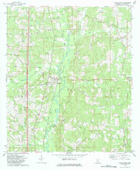
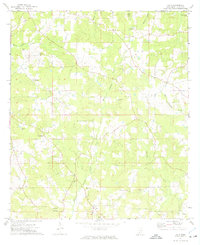
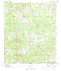
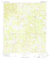
Historical Maps of Midway Through Time
16 maps found
1972 Bogue Chitto
Lincoln County, MS
1972 Caseyville
Lincoln County, MS
1972 Fair Oak Springs
Lincoln County, MS
1972 Midway
Lincoln County, MS
1972 Ruth
Lincoln County, MS
1972 Stronghope
Lincoln County, MS
1972 West Lincoln
Lincoln County, MS
1972 Zetus
Lincoln County, MS
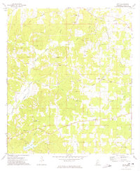
2024 Bogue Chitto
Lincoln County, MS
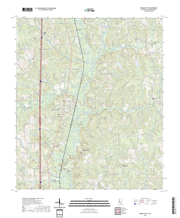
2024 Caseyville
Lincoln County, MS
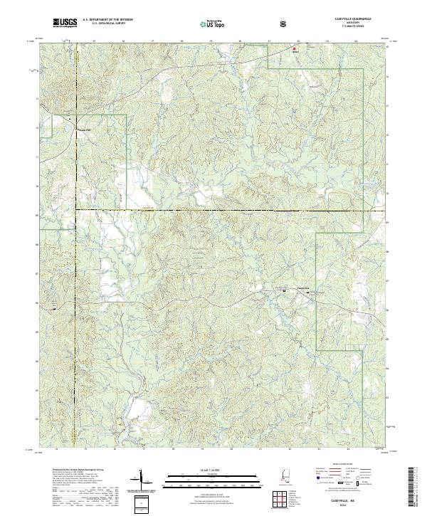
2024 Fair Oak Springs
Lincoln County, MS
2024 Midway
Lincoln County, MS
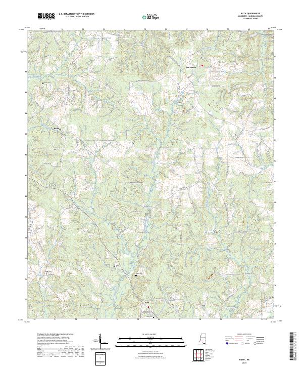
2024 Ruth
Lincoln County, MS
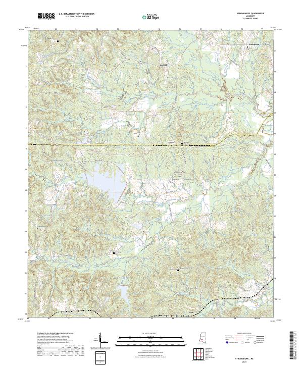
2024 Stronghope
Lincoln County, MS
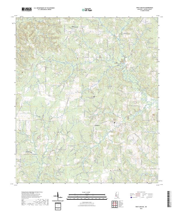
2024 West Lincoln
Lincoln County, MS
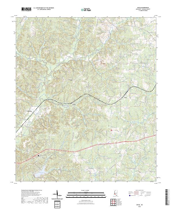
2024 Zetus
Lincoln County, MS