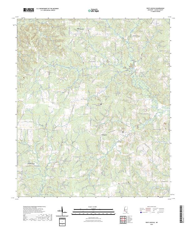
2024 Map of West Lincoln
USGS Topo · Published 2024About this map
West Lincoln and the surrounding rural reaches of Lincoln County are defined by a complex network of tributaries feeding into the Bogue Chitto River. The landscape is a patchwork of small-scale agriculture and timberland, evident in the numerous family-named roads like Quinn Rd SW and Roberts Ln SW. This pattern of land use is anchored by long-standing community landmarks, specifically the Zion Missionary Baptist Church and its associated Zion Missionary Baptist Church Cem. Further south, the map identifies the Moak and Sasser Cem, reflecting the deep-rooted genealogical history of the area. Waterways such as Big Creek and Sassers Mill Creek dictate the local topography, while the settlement at Center Point serves as another focal point for the rural population in this part of Mississippi.
Find a feature on this map
81 named features on this map. Tap any name to fly to it.
Don’t see what you’re looking for? This feature index may not catch every label — zoom into the map to look around manually.
Map Details
Editions of this 2024 West Lincoln Map
This is the sole edition of this map. No revisions or reprints were ever made.
Other maps of this area

1953 · Natchez
USGS Topo · 1:250,000

1956 · Natchez
USGS Topo · 1:250,000

1959 · Natchez
USGS Topo · 1:250,000

1972 · West Lincoln
USGS Topo · 1:24,000

1972 · Smithdale
USGS Topo · 1:24,000

1972 · McCall Creek
USGS Topo · 1:24,000

1972 · Little Springs
USGS Topo · 1:24,000

1972 · Auburn
USGS Topo · 1:24,000

1972 · Bogue Chitto
USGS Topo · 1:24,000

1972 · Brookhaven
USGS Topo · 1:24,000