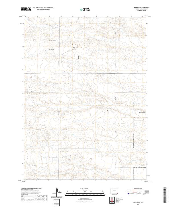
2021 Map of Midway SW
USGS Topo · Published 2021About this map
Dorothy Lavalleur Burial Site stands as a solitary, named memorial in the southeastern Wyoming high plains of Laramie County. This landscape is defined by the ephemeral drainage patterns of Chivington Draw in the north and the winding course of Spring Cr to the south. The land is organized by the Public Land Survey System, with township lines like t16n r63w and t16n r64w dividing the open range into a regular grid of sections.
Find a feature on this map
21 named features on this map. Tap any name to fly to it.
Don’t see what you’re looking for? This feature index may not catch every label — zoom into the map to look around manually.
Map Details
Editions of this 2021 Midway SW Map
This is the sole edition of this map. No revisions or reprints were ever made.
Other maps of this area

1911 · Cheyenne
USGS Topo · 1:125,000

1914 · Cheyenne
USGS Topo · 1:125,000

1954 · Cheyenne
USGS Topo · 1:250,000

1958 · Cheyenne
USGS Topo · 1:250,000

1963 · Little Indian Draw
USGS Topo · 1:24,000

1963 · Burns
USGS Topo · 1:24,000

1963 · Pole Creek Ranch SE
USGS Topo · 1:24,000

1963 · Midway
USGS Topo · 1:24,000

1963 · Durham
USGS Topo · 1:24,000

1963 · Midway SE
USGS Topo · 1:24,000