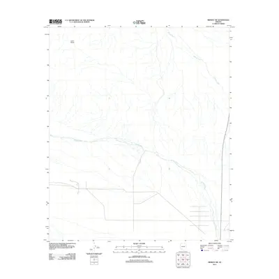
2011 Map of Midway SW
USGS Topo · Published 2011About this map
Crater Range defines the northwest corner of this arid landscape, where the terrain slopes gradually into a complex drainage system. The desert floor is carved by prominent ephemeral waterways, most notably Midway Wash as it flows toward the northeast and the expansive Tenmile Wash crossing the central and southern portions of the quadrangle. In the southeastern section, the introduction of a modern road grid and infrastructure reflects the encroachment of development and transit corridors upon the traditional wash patterns. This 2011 survey documents the intersection of natural drainage features with human geographic expansion in the Sonoran desert environment.
Find a feature on this map
3 named features on this map. Tap any name to fly to it.
Don’t see what you’re looking for? This feature index may not catch every label — zoom into the map to look around manually.
Map Details
Editions of this 2011 Midway SW Map
This is the sole edition of this map. No revisions or reprints were ever made.
Other maps of this area

1932 · Ajo
USGS Topo · 1:62,500

1934 · Ajo
USGS Topo · 1:62,500

1953 · Ajo
USGS Topo · 1:250,000

1957 · Ajo
USGS Topo · 1:250,000

1958 · Ajo
USGS Topo · 1:250,000

1958 · Midway
USGS Topo · 1:62,500

1962 · Ajo
USGS Topo · 1:250,000

1963 · Ajo
USGS Topo · 1:250,000

1963 · Ajo
USGS Topo · 1:62,500

1964 · Growler Peak
USGS Topo · 1:62,500