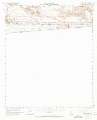
1954 Map of Midway Well
USGS Topo · Published 1971About this map
The All American Canal cuts a straight, industrial line through the shifting topography of the Imperial Valley, defining the landscape between the Mesa and the border. This mid-century survey illustrates the intensive water management efforts of the U. S. Bureau of Reclamation, featuring infrastructure like Power Drop No 4 and a series of Gaging Stations along the levee. Just north of the international boundary, the map records Experimental Farm No 1 and Experimental Farm No 2, appearing as isolated outposts of irrigation research amid the expansive Sand Dunes. The presence of Midway Well and various Jeep Trails provides evidence of the sparse desert transit and habitation patterns during the 1950s. This survey, compiled from aerial photography and planetable work, captures the stark interface between desert wildness and the mechanical precision of California's southern water infrastructure.
Find a feature on this map
15 named features on this map. Tap any name to fly to it.
Don’t see what you’re looking for? This feature index may not catch every label — zoom into the map to look around manually.
Map Details
Editions of this 1954 Midway Well Map
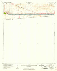
2 editions found
Other maps of this area

1903 · Yuma
USGS Topo · 1:125,000

1905 · Yuma
USGS Topo · 1:125,000

1907 · Holtville
USGS Topo · 1:125,000

1940 · Alamorio
USGS Topo · 1:62,500

1940 · Calexico
USGS Topo · 1:62,500

1942 · El Centro
USGS Topo · 1:250,000

1942 · Yuma
USGS Topo · 1:250,000

1943 · Calexico
USGS Topo · 1:62,500

1945 · Alamorio
USGS Topo · 1:62,500
1953 · Calexico
USGS Topo · 1:50,000