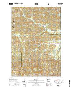
2020 Map of Midway
USGS Topo · Published 2020About this map
The Siuslaw National Forest encompasses a significant portion of this landscape at the intersection of Yamhill, Tillamook, Polk, and Lincoln Counties. The terrain is defined by the headwaters and drainages of several major regional waterways, including the S Yamhill River, the Salmon River, and the Little Nestucca River. Small settlements like Boyer and Midway sit along Hebo Rd, serving as focal points for the surrounding timberlands and ridges. The map illustrates a complex network of forest roads such as SW Agency Creek Rd and Sourgrass Rd that navigate the high points of Sourgrass Summit, Leno Hill, and Saddle Bag Mtn. To the southeast, Hidout Reservoir and the Rogue River further mark the drainage patterns of this heavily forested upland region.
Find a feature on this map
49 named features on this map. Tap any name to fly to it.
Don’t see what you’re looking for? This feature index may not catch every label — zoom into the map to look around manually.
Map Details
Editions of this 2020 Midway Map
This is the sole edition of this map. No revisions or reprints were ever made.
Other maps of this area

1941 · Nestucca Bay
USGS Topo · 1:62,500

1942 · Euchre Mtn
USGS Topo · 1:62,500

1942 · Spirit Mtn
USGS Topo · 1:62,500

1942 · Nestucca Bay
USGS Topo · 1:62,500

1942 · Valsetz
USGS Topo · 1:62,500

1943 · Euchre Mtn
USGS Topo · 1:62,500

1948 · Vancouver
USGS Topo · 1:250,000

1950 · Vancouver
USGS Topo · 1:250,000

1950 · Vancouver
USGS Topo · 1:250,000

1953 · Salem
USGS Topo · 1:250,000