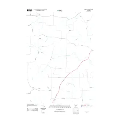
2013 Map of Mifflin
USGS Topo · Published 2013About this map
Mifflin sits at the northern edge of this southwestern Wisconsin landscape, where the Pecatonica River winds through a network of rural county highways and family-named roads. The terrain is defined by the prominent Belmont Mound in the southwest, a distinctive landmark near the settlement of Leslie. The map reveals a deeply rooted agricultural and rural community, evidenced by the numerous branch streams like Sudan Br and Jones Br that feed the river system. Genealogists and local historians can trace legacy routes such as Log Town Rd and Harker Station Rd, which suggest earlier centers of activity and commerce. The presence of Peniel Cemetery Rd and Peniel Rd points to the site of historic local gathering places, while the path of Us-151 cutting through the center shows the modern corridor of travel through this Iowa County township.
Find a feature on this map
45 named features on this map. Tap any name to fly to it.
Don’t see what you’re looking for? This feature index may not catch every label — zoom into the map to look around manually.
Map Details
Editions of this 2013 Mifflin Map
This is the sole edition of this map. No revisions or reprints were ever made.
Other maps of this area

1902 · Mineral Point
USGS Topo · 1:125,000

1952 · Platteville
USGS Topo · 1:24,000

1952 · Calamine
USGS Topo · 1:24,000

1952 · Rewey
USGS Topo · 1:24,000

1952 · Montfort
USGS Topo · 1:24,000

1952 · Mineral Point
USGS Topo · 1:24,000

1952 · Dodgeville
USGS Topo · 1:24,000

1952 · Belmont
USGS Topo · 1:24,000

1952 · Linden
USGS Topo · 1:24,000

1952 · Mifflin
USGS Topo · 1:24,000