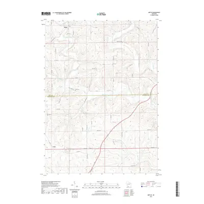
2018 Map of Mifflin
USGS Topo · Published 2018About this map
Mifflin sits at the northern edge of this landscape, where the Pecatonica River begins its winding path through the dissected plateau of Iowa and Lafayette counties. The terrain is defined by a dense network of tributaries including Sudan Br, Williams Rewey Br, and Whiteside Br, which carve deep valleys into the countryside. In the south, the prominent elevation of Belmont Mound rises above the surrounding fields near the settlement of Leslie.
Find a feature on this map
53 named features on this map. Tap any name to fly to it.
Don’t see what you’re looking for? This feature index may not catch every label — zoom into the map to look around manually.
Map Details
Editions of this 2018 Mifflin Map
This is the sole edition of this map. No revisions or reprints were ever made.
Other maps of this area

1902 · Mineral Point
USGS Topo · 1:125,000

1952 · Platteville
USGS Topo · 1:24,000

1952 · Calamine
USGS Topo · 1:24,000

1952 · Rewey
USGS Topo · 1:24,000

1952 · Montfort
USGS Topo · 1:24,000

1952 · Mineral Point
USGS Topo · 1:24,000

1952 · Dodgeville
USGS Topo · 1:24,000

1952 · Belmont
USGS Topo · 1:24,000

1952 · Linden
USGS Topo · 1:24,000

1952 · Mifflin
USGS Topo · 1:24,000