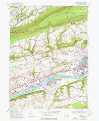
1954 Map of Mifflinville
USGS Topo · Published 1978About this map
The Susquehanna River defines the lower third of this landscape, its path flanked by the Conrail line and an industrial corridor near Lime Ridge. In the mid-20th century, this area transitioned from river-bound agriculture to more complex infrastructure, evidenced by the Landing Strip and the growth of communities like Berwick. To the north, the terrain rises sharply into Huntington Mountain and Lee Mountain, where narrow valleys host settlements such as Forks and Pealertown along Fishing Creek. Local history is deeply etched into the hillsides through landmarks like the Old Stone Ch and St Peters Ch, alongside vanished educational sites such as Center Sch. The inclusion of Dennis Mills and Martzville provides a window into the smaller hamlets and family-named locales that populated Columbia County before modern expansion altered the rural fabric.
Find a feature on this map
51 named features on this map. Tap any name to fly to it.
Don’t see what you’re looking for? This feature index may not catch every label — zoom into the map to look around manually.
Map Details
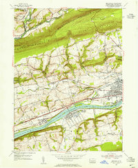
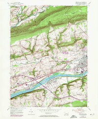
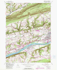
Editions of this 1954 Mifflinville Map
4 editions found
Other maps of this area

1889 · Catawissa
USGS Topo · 1:62,500

1892 · Catawissa
USGS Topo · 1:62,500

1892 · Mahanoy
USGS Topo · 1:62,500

1893 · Mahanoy
USGS Topo · 1:62,500

1894 · Catawissa
USGS Topo · 1:62,500

1894 · Shickshinny
USGS Topo · 1:62,500

1894 · Bloomsburg
USGS Topo · 1:62,500

1946 · Shickshinny
USGS Topo · 1:31,680

1946 · Berwick
USGS Topo · 1:31,680

1947 · Bloomsburg
USGS Topo · 1:24,000