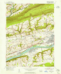
1954 Map of Mifflinville
USGS Topo · Published 1955About this map
The Susquehanna River cuts a prominent path through the center of this mid-century survey, dividing the townships of North Centre and South Centre from the hills of Mifflin. The industrial and transport importance of the corridor is evident in the parallel alignments of the Pennsylvania and Delaware Lackawanna and Western railroads following the river banks. Settlements like Mifflinville and Lime Ridge serve as focal points for local commerce, while smaller hamlets such as Fowlersville and Pealertown are scattered among the ridges of Huntingdon Mountain and Lee Mountain.
Find a feature on this map
63 named features on this map. Tap any name to fly to it.
Don’t see what you’re looking for? This feature index may not catch every label — zoom into the map to look around manually.
Map Details
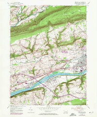
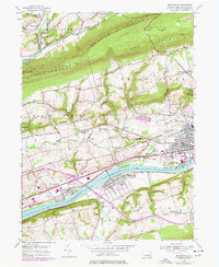
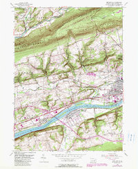
Editions of this 1954 Mifflinville Map
4 editions found
Other maps of this area

1889 · Catawissa
USGS Topo · 1:62,500

1892 · Catawissa
USGS Topo · 1:62,500

1892 · Mahanoy
USGS Topo · 1:62,500

1893 · Mahanoy
USGS Topo · 1:62,500

1894 · Catawissa
USGS Topo · 1:62,500

1894 · Shickshinny
USGS Topo · 1:62,500

1894 · Bloomsburg
USGS Topo · 1:62,500

1946 · Shickshinny
USGS Topo · 1:31,680

1946 · Berwick
USGS Topo · 1:31,680

1947 · Bloomsburg
USGS Topo · 1:24,000