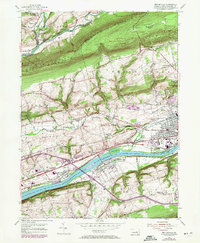
1954 Map of Mifflinville
USGS Topo · Published 1971About this map
The Susquehanna River carves a dominant path through the southern half of this landscape, creating a corridor for the Penn Central and Erie-Lackawanna railroads. In the valley floor, the settlement of Mifflinville sits across the water from Lime Ridge, connected by a bridge network that was evolving with the introduction of new interstate interchanges by the late 1960s. The northern terrain is defined by the steep parallel ridges of Huntington Mountain and Lee Mountain, which hem in the waters of Fishing Creek and Huntington Creek.
Find a feature on this map
51 named features on this map. Tap any name to fly to it.
Don’t see what you’re looking for? This feature index may not catch every label — zoom into the map to look around manually.
Map Details
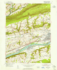
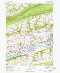
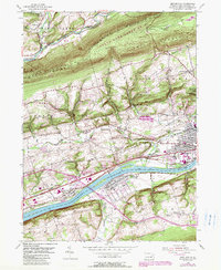
Editions of this 1954 Mifflinville Map
4 editions found
Other maps of this area

1889 · Catawissa
USGS Topo · 1:62,500

1892 · Catawissa
USGS Topo · 1:62,500

1892 · Mahanoy
USGS Topo · 1:62,500

1893 · Mahanoy
USGS Topo · 1:62,500

1894 · Catawissa
USGS Topo · 1:62,500

1894 · Shickshinny
USGS Topo · 1:62,500

1894 · Bloomsburg
USGS Topo · 1:62,500

1946 · Shickshinny
USGS Topo · 1:31,680

1946 · Berwick
USGS Topo · 1:31,680

1947 · Bloomsburg
USGS Topo · 1:24,000