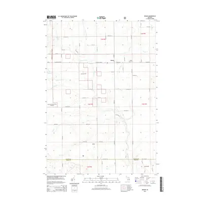
2014 Map of Mikado
USGS Topo · Published 2014About this map
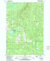
Mikado serves as the central hub for this portion of Alcona County, situated near the northeastern edge of the Huron National Forest. The landscape is defined by the complex drainage system of the Pine River, including the West Br Pine River and South Br Pine River, which wind through the township. These waterways, along with Van Etten Cr and Duval Cr, reveal the natural hydrography of the region's sandy plains and forested blocks.
Find a feature on this map
46 named features on this map. Tap any name to fly to it.
Don’t see what you’re looking for? This feature index may not catch every label — zoom into the map to look around manually.
Map Details
Editions of this 2014 Mikado Map
This is the sole edition of this map. No revisions or reprints were ever made.
Other maps of this area

1954 · Tawas City
USGS Topo · 1:250,000

1958 · Tawas City
USGS Topo · 1:250,000
1959 · Tawas City
USGS Topo · 1:62,500
1959 · East Tawas
USGS Topo · 1:62,500
1959 · Glennie
USGS Topo · 1:62,500
1959 · Harrisville
USGS Topo · 1:62,500
1983 · Hubbard Lake
USGS Topo · 1:100,000
1984 · Tawas City
USGS Topo · 1:100,000
1989 · Harrisville
USGS Topo · 1:24,000
1989 · Barton City
USGS Topo · 1:24,000